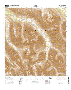
2016 Map of Healy C-3 SW
USGS Topo · Published 2016About this map
The Alaska Range dominates this landscape in Denali Borough, where the dramatic elevation changes of the high interior define the region's character. Within this complex terrain, the settlement of McKinley Park is situated along the southwestern edge of the sheet, serving as a primary point of human presence in a territory largely shaped by the winding paths of high-altitude waterways. The drainage patterns are clearly delineated, with Moose Cr cutting through the center and northern sections, while Bruskasna Cr and Revine Cr navigate the southern valleys. These features together show the rugged hydrological network that supports the local ecosystem. The map's detail provides a clear view of the Public Land Survey System divisions, marking the township and range boundaries including t15s r5w and t16s r4w, which are essential for property and boundary research in this part of Alaska.
Find a feature on this map
9 named features on this map. Tap any name to fly to it.
Don’t see what you’re looking for? This feature index may not catch every label — zoom into the map to look around manually.
Map Details
Editions of this 2016 Healy C-3 SW Map
This is the sole edition of this map. No revisions or reprints were ever made.
Other maps of this area

1949 · Healy B-4
USGS Topo · 1:63,360

1949 · Healy C-3
USGS Topo · 1:63,360

1950 · Healy C-4
USGS Topo · 1:63,360

1950 · Healy B-3
USGS Topo · 1:63,360

1951 · Healy
USGS Topo · 1:250,000

1951 · Healy B-4
USGS Topo · 1:63,360
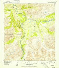
1952 · Healy C-4
USGS Topo · 1:63,360
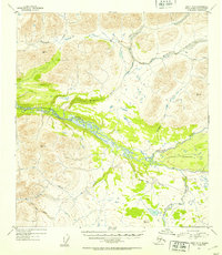
1952 · Healy B-3
USGS Topo · 1:63,360
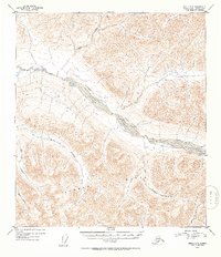
1952 · Healy C-3
USGS Topo · 1:63,360

1956 · Healy
USGS Topo · 1:250,000