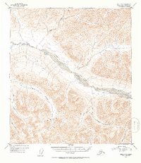
1952 Map of Healy C-3
USGS Topo · Published 1954About this map
The Alaska Range dominates the southern landscape of this 1952 topographic survey, providing a sharp relief against the broad glacial valley of the Yanert Fork. This river system acts as the primary drainage for the area, fed by numerous high-altitude tributaries including Dean Creek and Grizzly Creek to the north. The drainage patterns on this map reveal a complex network of alpine watercourses, where names like Ravine Creek and Moose Creek suggest the steep and untamed character of the central Alaskan interior during the mid-century period.
Find a feature on this map
9 named features on this map. Tap any name to fly to it.
Don’t see what you’re looking for? This feature index may not catch every label — zoom into the map to look around manually.
Map Details
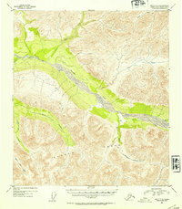
Editions of this 1952 Healy C-3 Map
2 editions found
Other maps of this area

1949 · Healy B-4
USGS Topo · 1:63,360

1949 · Healy C-3
USGS Topo · 1:63,360

1949 · Healy B-2
USGS Topo · 1:63,360

1950 · Healy D-4
USGS Topo · 1:63,360

1950 · Healy C-4
USGS Topo · 1:63,360

1950 · Healy B-3
USGS Topo · 1:63,360

1950 · Healy D-3
USGS Topo · 1:63,360

1951 · Healy
USGS Topo · 1:250,000

1951 · Healy B-4
USGS Topo · 1:63,360

1951 · Healy C-2
USGS Topo · 1:63,360