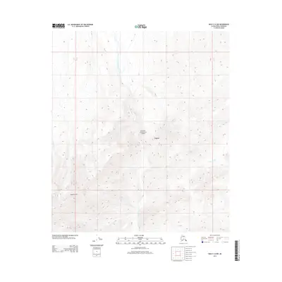
2014 Map of Healy C-6 NW
USGS Topo · Published 2014About this map
Denali National Park encompasses the majority of this interior landscape, defined by its complex drainage systems and the elevated terrain of the Wyoming Hills. The Lagoon settlement area sits centrally within this topography, positioned near the headwaters and tributaries that form the regional hydrologic network. The movement of water is a primary geographic feature here, with the E Fork Toklat River and the Sushana River cutting through the valleys. The presence of Wigand Cr on the western edge further illustrates the transition between high ridges and the river basins. This 2014 survey documents the wilderness character of the park, showing how natural landforms dictate the placement of human footprints like Lagoon in an otherwise unpopulated mountain environment.
Find a feature on this map
6 named features on this map. Tap any name to fly to it.
Don’t see what you’re looking for? This feature index may not catch every label — zoom into the map to look around manually.
Map Details
Editions of this 2014 Healy C-6 NW Map
This is the sole edition of this map. No revisions or reprints were ever made.
Other maps of this area

1951 · Healy
USGS Topo · 1:250,000

1951 · Mount McKinley D-1
USGS Topo · 1:63,360

1951 · Healy D-6
USGS Topo · 1:63,360

1952 · Mount McKinley
USGS Topo · 1:250,000

1952 · Mount McKinley C-1
USGS Topo · 1:63,360

1954 · Healy C-6
USGS Topo · 1:63,360

1954 · Mount McKinley D-1
USGS Topo · 1:63,360

1954 · Mount McKinley C-1
USGS Topo · 1:63,360
1954 · Healy D-6
USGS Topo · 1:63,360

1956 · Healy
USGS Topo · 1:250,000