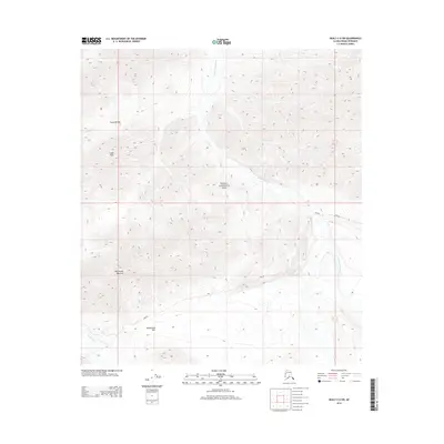
2014 Map of Healy C-6 SW
USGS Topo · Published 2014About this map
Denali National Park terrain is defined here by the dramatic elevations of the Alaska Range, where the E Fork Toklat River and Toklat River carve deep glacial valleys. High-altitude landmarks such as Polychrome Mountain and Cabin Peak dominate the topography, while Cabin Divide separates the local drainages of Cabin Cr and Tributary Cr. The presence of Park Rd provides a singular corridor through this interior wilderness, crossing the landscape near the notable Polychrome Pass. This survey illustrates the intricate drainage patterns and steep contour gradients that characterize the region, showing how the road system navigates the complex mountain passes and river gravels of the interior.
Find a feature on this map
10 named features on this map. Tap any name to fly to it.
Don’t see what you’re looking for? This feature index may not catch every label — zoom into the map to look around manually.
Map Details
Editions of this 2014 Healy C-6 SW Map
This is the sole edition of this map. No revisions or reprints were ever made.
Other maps of this area

1951 · Healy
USGS Topo · 1:250,000

1952 · Mount McKinley
USGS Topo · 1:250,000

1952 · Mount McKinley B-1
USGS Topo · 1:63,360

1952 · Mount McKinley C-1
USGS Topo · 1:63,360

1954 · Healy C-6
USGS Topo · 1:63,360

1954 · Healy B-6
USGS Topo · 1:63,360

1954 · Mount McKinley C-1
USGS Topo · 1:63,360

1954 · Mount McKinley B-1
USGS Topo · 1:63,360

1956 · Healy
USGS Topo · 1:250,000

1958 · Mount McKinley
USGS Topo · 1:250,000