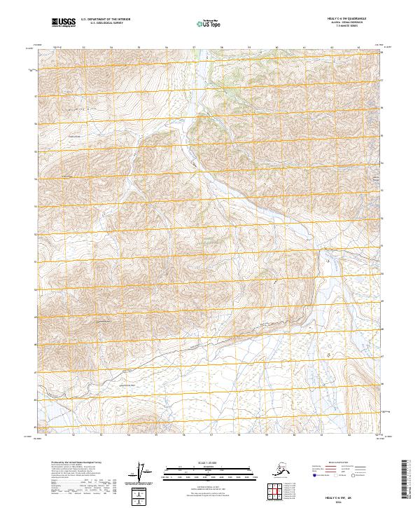
2024 Map of Healy C-6 SW
USGS Topo · Published 2024About this map
Polychrome Mtn and the winding course of the Park Road define this high-altitude landscape in the heart of Denali National Park. The survey illustrates the complex drainage patterns of the East Fork Toklat River as it cuts through the northern foothills of the Alaska Range. In the northern section, the Wyoming Hills provide a stark contrast to the glacial valleys below, with notable landmarks like Cabin Peak and the Cabin Divide marking the high ridges. This map captures the protected interior of the Denali Wilderness, documenting the natural path of the Tributary Creek and the high-elevation crossing at Polychrome Pass. It represents a modern look at one of the most strictly managed wild environments in the United States, where human infrastructure is limited to the single arterial route through the mountains.
Find a feature on this map
17 named features on this map. Tap any name to fly to it.
Don’t see what you’re looking for? This feature index may not catch every label — zoom into the map to look around manually.
Map Details
Editions of this 2024 Healy C-6 SW Map
This is the sole edition of this map. No revisions or reprints were ever made.
Other maps of this area

1951 · Healy
USGS Topo · 1:250,000

1952 · Mount McKinley
USGS Topo · 1:250,000

1952 · Mount McKinley B-1
USGS Topo · 1:63,360

1952 · Mount McKinley C-1
USGS Topo · 1:63,360

1954 · Healy C-6
USGS Topo · 1:63,360

1954 · Healy B-6
USGS Topo · 1:63,360

1954 · Mount McKinley C-1
USGS Topo · 1:63,360

1954 · Mount McKinley B-1
USGS Topo · 1:63,360

1956 · Healy
USGS Topo · 1:250,000

1958 · Mount McKinley
USGS Topo · 1:250,000