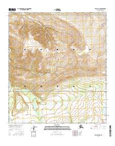
2016 Map of Healy D-5 NW
USGS Topo · Published 2016About this map
Denali National Park encompasses the central portion of this interior Alaskan landscape, where the braided channels of the Teklanika River and Savage River flow northward toward the Tanana Valley. This 2016 survey documents a high-altitude wilderness defined by drainage basins like Bear Cr and Fish Cr, which carve through the foothills of the Alaska Range. In the southeastern corner, the presence of Eightmile Lake and the terminal stretch of Stampede Road provide rare points of human accessibility in an otherwise roadless terrain. The map's detail of the creek systems, including Rock Cr, illustrates the complex hydrology of the region before these waters join larger glacial rivers downstream. This document serves as a precise record of the topography and water bodies that define the northern fringes of one of America's most significant protected wilderness areas.
Find a feature on this map
13 named features on this map. Tap any name to fly to it.
Don’t see what you’re looking for? This feature index may not catch every label — zoom into the map to look around manually.
Map Details
Editions of this 2016 Healy D-5 NW Map
This is the sole edition of this map. No revisions or reprints were ever made.
Other maps of this area

1950 · Fairbanks
USGS Topo · 1:250,000

1950 · Fairbanks A-5
USGS Topo · 1:63,360

1951 · Healy
USGS Topo · 1:250,000

1951 · Fairbanks
USGS Topo · 1:250,000

1951 · Fairbanks A-5
USGS Topo · 1:63,360

1951 · Healy D-6
USGS Topo · 1:63,360

1951 · Healy D-5
USGS Topo · 1:63,360

1952 · Healy D-5
USGS Topo · 1:63,360

1952 · Fairbanks A-6
USGS Topo · 1:63,360

1952 · Fairbanks
USGS Topo · 1:250,000