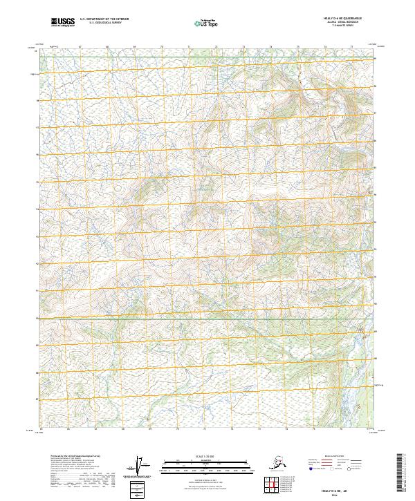
2024 Map of Healy D-6 NE
USGS Topo · Published 2024About this map
Denali National Park encompasses the vast majority of this landscape, showing a remote interior wilderness where the high-altitude terrain is defined by complex glacial and alluvial systems. The Teklanika River flows northward through the northeastern corner of the map, carving its path across the tundra and through the township ranges. This modern survey reflects the character of the Alaska Range's foothills, where drainage patterns are influenced by significant elevation changes, ranging from river valleys to mountain ridges. The map meticulously records the public land survey system grid, including t11s r11w and t12s r10w, which provides essential geographic context for this protected subarctic ecosystem near the heart of the Alaska interior.
Find a feature on this map
7 named features on this map. Tap any name to fly to it.
Don’t see what you’re looking for? This feature index may not catch every label — zoom into the map to look around manually.
Map Details
Editions of this 2024 Healy D-6 NE Map
This is the sole edition of this map. No revisions or reprints were ever made.
Other maps of this area

1950 · Fairbanks
USGS Topo · 1:250,000

1950 · Fairbanks A-5
USGS Topo · 1:63,360

1951 · Healy
USGS Topo · 1:250,000

1951 · Fairbanks
USGS Topo · 1:250,000

1951 · Fairbanks A-5
USGS Topo · 1:63,360

1951 · Healy D-6
USGS Topo · 1:63,360

1951 · Healy D-5
USGS Topo · 1:63,360

1952 · Healy D-5
USGS Topo · 1:63,360

1952 · Fairbanks A-6
USGS Topo · 1:63,360

1952 · Fairbanks
USGS Topo · 1:250,000