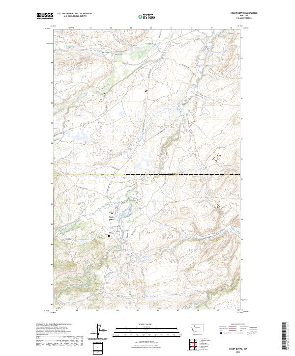
2024 Map of Heart Butte
USGS Topo · Published 2024About this map
Heart Butte serves as the central hub of this northern Montana landscape, situated at the boundary of Glacier Co and Pondera Co. The settlement is surrounded by a network of rural roads and trails bearing names that reflect the heritage and local geography of the region, including Skunk Village Rd, New Dayrider Rd, and Spotted Eagle Rd. For those researching local history, the presence of the Saint Anne Cem and School House Rd provides clear points of interest for identifying early community gathering places.
Find a feature on this map
36 named features on this map. Tap any name to fly to it.
Don’t see what you’re looking for? This feature index may not catch every label — zoom into the map to look around manually.
Map Details
Editions of this 2024 Heart Butte Map
This is the sole edition of this map. No revisions or reprints were ever made.
Other maps of this area

1914 · Heart Butte
USGS Topo · 1:125,000

1918 · Heart Butte
USGS Topo · 1:125,000

1960 · Cut Bank
USGS Topo · 1:250,000

1963 · Cut Bank
USGS Topo · 1:250,000

1964 · Cut Bank
USGS Topo · 1:250,000

1968 · Swift Reservoir
USGS Topo · 1:24,000
1968 · Piegan
USGS Topo · 1:24,000

1968 · Fish Lake
USGS Topo · 1:24,000

1968 · White Man Coulee
USGS Topo · 1:24,000
1968 · Magee Ranch
USGS Topo · 1:24,000