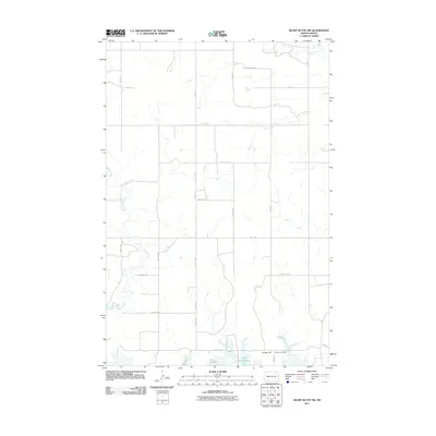
2011 Map of Heart Butte NW
USGS Topo · Published 2011About this map
Lake Tschida dominates the southern reaches of this landscape, its indented shoreline forming a complex border where the water meets the prairie. Located in rural Morton County, the area is defined by the winding paths of Beaver Creek and Heart Butte Creek, which navigate through a grid-like network of rural section roads like County Rd-138. Genealogists and local historians will find the Koehler Cemetery positioned near the northern banks of the lake, south of the prominent elevation of Cannon Hill. This 2011 survey documents a sparsely populated region where the geography is shaped by the intersection of water management and long-established ranch or farm access routes.
Find a feature on this map
25 named features on this map. Tap any name to fly to it.
Don’t see what you’re looking for? This feature index may not catch every label — zoom into the map to look around manually.
Map Details
Editions of this 2011 Heart Butte NW Map
This is the sole edition of this map. No revisions or reprints were ever made.
Other maps of this area

1938 · Heart Butte
USGS Topo · 1:48,000

1944 · Heart Butte
USGS Topo · 1:62,500

1953 · Dickinson
USGS Topo · 1:250,000

1954 · Bismarck
USGS Topo · 1:250,000

1957 · Dickinson
USGS Topo · 1:250,000

1958 · Bismarck
USGS Topo · 1:250,000

1960 · Glen Ullin
USGS Topo · 1:24,000

1960 · Heart Butte NW
USGS Topo · 1:24,000

1960 · Clark Butte NE
USGS Topo · 1:24,000

1960 · Heart Butte
USGS Topo · 1:24,000