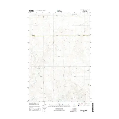
2014 Map of Heart Butte NW
USGS Topo · Published 2014About this map
The rolling plains along the border of Morton Co and Grant Co are defined by the winding paths of Beaver Creek and Heart Butte Creek. In the southern portion of this landscape, the terrain descends toward the northern reaches of Lake Tschida, a significant water feature that shapes the local topography. This 2014 survey captures a rural environment structured by a precise grid of section roads, including 48th St SW and 71st Ave SW, which provide access to the high ground at Heart Butte and Cannon Hill. For those researching local family histories, the inclusion of Koehler Cemetery near the banks of Red Creek provides a vital point of reference for early settlement patterns in this part of North Dakota.
Find a feature on this map
27 named features on this map. Tap any name to fly to it.
Don’t see what you’re looking for? This feature index may not catch every label — zoom into the map to look around manually.
Map Details
Editions of this 2014 Heart Butte NW Map
This is the sole edition of this map. No revisions or reprints were ever made.
Other maps of this area

1938 · Heart Butte
USGS Topo · 1:48,000

1944 · Heart Butte
USGS Topo · 1:62,500

1953 · Dickinson
USGS Topo · 1:250,000

1954 · Bismarck
USGS Topo · 1:250,000

1957 · Dickinson
USGS Topo · 1:250,000

1958 · Bismarck
USGS Topo · 1:250,000

1960 · Glen Ullin
USGS Topo · 1:24,000

1960 · Heart Butte NW
USGS Topo · 1:24,000

1960 · Clark Butte NE
USGS Topo · 1:24,000

1960 · Heart Butte
USGS Topo · 1:24,000