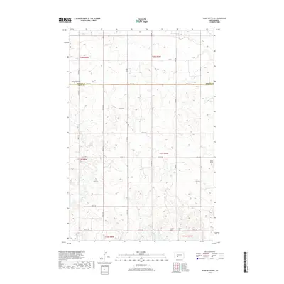
2018 Map of Heart Butte NW
USGS Topo · Published 2018About this map
The boundary between Morton Co and Grant Co bisects this prairie landscape, where the drainage of Heart Butte Cr and Beaver Cr defines the local topography. This 2018 survey reveals a rural area dominated by section-line roads and scattered cultural landmarks. Key markers of the community include Bethany Church and its accompanying Bethany Church Cem, located along 48th St SW. Further south, Koeffler Cem sits near the base of Cannon Hill, providing specific points of interest for genealogists tracking early families in this part of North Dakota. Prominent natural landmarks like the namesake Heart Butte rise above the surrounding terrain, which remains largely defined by the agricultural grid and the gentle flow of Red Cr.
Find a feature on this map
25 named features on this map. Tap any name to fly to it.
Don’t see what you’re looking for? This feature index may not catch every label — zoom into the map to look around manually.
Map Details
Editions of this 2018 Heart Butte NW Map
This is the sole edition of this map. No revisions or reprints were ever made.
Other maps of this area

1938 · Heart Butte
USGS Topo · 1:48,000

1944 · Heart Butte
USGS Topo · 1:62,500

1953 · Dickinson
USGS Topo · 1:250,000

1954 · Bismarck
USGS Topo · 1:250,000

1957 · Dickinson
USGS Topo · 1:250,000

1958 · Bismarck
USGS Topo · 1:250,000

1960 · Glen Ullin
USGS Topo · 1:24,000

1960 · Heart Butte NW
USGS Topo · 1:24,000

1960 · Clark Butte NE
USGS Topo · 1:24,000

1960 · Heart Butte
USGS Topo · 1:24,000