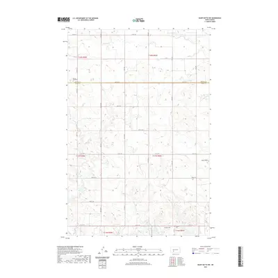
2020 Map of Heart Butte NW
USGS Topo · Published 2020About this map
Morton County and Grant County meet along the 48th Street SW corridor in this rural North Dakota landscape. The terrain is defined by the winding paths of Beaver Creek and Heart Butte Creek, which flow through a high prairie characterized by distinct rises like Heart Butte and Cannon Hill. This region preserves its early 20th-century settlement patterns, where local life centered around remote institutions such as the Bethany Church Cemetery. To the south, the northern edge of Lake Tschida begins to form, a major hydrological feature on the Heart River. The map documents a section of the Northern Great Plains where the grid system of the Public Land Survey System dictates the placement of section lines and gravel roads, including County Road 138 and numerous numeric streets.
Find a feature on this map
26 named features on this map. Tap any name to fly to it.
Don’t see what you’re looking for? This feature index may not catch every label — zoom into the map to look around manually.
Map Details
Editions of this 2020 Heart Butte NW Map
This is the sole edition of this map. No revisions or reprints were ever made.
Other maps of this area

1938 · Heart Butte
USGS Topo · 1:48,000

1944 · Heart Butte
USGS Topo · 1:62,500

1953 · Dickinson
USGS Topo · 1:250,000

1954 · Bismarck
USGS Topo · 1:250,000

1957 · Dickinson
USGS Topo · 1:250,000

1958 · Bismarck
USGS Topo · 1:250,000

1960 · Glen Ullin
USGS Topo · 1:24,000

1960 · Heart Butte NW
USGS Topo · 1:24,000

1960 · Clark Butte NE
USGS Topo · 1:24,000

1960 · Heart Butte
USGS Topo · 1:24,000