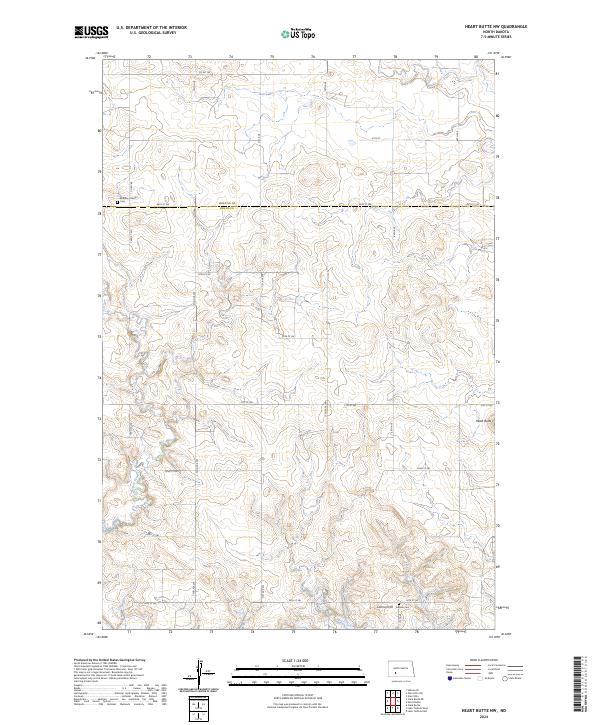
2024 Map of Heart Butte NW
USGS Topo · Published 2024About this map
The rolling plains along the Morton and Grant county line are defined by the intricate drainage networks of Beaver Creek and Red Creek. This area of North Dakota represents a sparsely populated agricultural landscape where the topography is sculpted by these watercourses as they meander toward the Cannonball River valley. The map documents the section-line road system that organizes the region, reflecting the long-standing Public Land Survey System that has governed settlement patterns since the early days of statehood. This 2024 edition provides a high-resolution view of the terrain for modern land management and conservation, tracing the subtle elevation changes across the open prairie.
Find a feature on this map
2 named features on this map. Tap any name to fly to it.
Don’t see what you’re looking for? This feature index may not catch every label — zoom into the map to look around manually.
Map Details
Editions of this 2024 Heart Butte NW Map
This is the sole edition of this map. No revisions or reprints were ever made.
Other maps of this area

1938 · Heart Butte
USGS Topo · 1:48,000

1944 · Heart Butte
USGS Topo · 1:62,500

1953 · Dickinson
USGS Topo · 1:250,000

1954 · Bismarck
USGS Topo · 1:250,000

1957 · Dickinson
USGS Topo · 1:250,000

1958 · Bismarck
USGS Topo · 1:250,000

1960 · Glen Ullin
USGS Topo · 1:24,000

1960 · Heart Butte NW
USGS Topo · 1:24,000

1960 · Clark Butte NE
USGS Topo · 1:24,000

1960 · Heart Butte
USGS Topo · 1:24,000