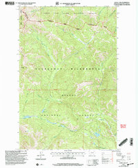
2001 Map of Heart Lake
USGS Topo · Published 2004About this map
The Continental Divide winds through this high-altitude landscape within the Scapegoat Wilderness, marking the boundary between the Lolo National Forest, Lewis and Clark National Forest, and Helena National Forest. This 2001 revision illustrates a complex alpine watershed where the North Fork Blackfoot River and Landers Fork originate. The map traces the primitive route of the Continental Divide Scenic National Scenic Trail as it traverses ridges above Heart Lake and Two Point Lake. Because this area is largely preserved wilderness, the map focuses on the natural drainage patterns of creeks like Bighorn Creek and Ringeye Creek, and prominent peaks such as Pyramid Peak and Rocky Mountain. It serves as a precise record of the primitive backcountry before further ecological shifts or trail re-routing, highlighting the intersections of multiple national forest jurisdictions at the turn of the 21st century.
Find a feature on this map
29 named features on this map. Tap any name to fly to it.
Don’t see what you’re looking for? This feature index may not catch every label — zoom into the map to look around manually.
Map Details
Editions of this 2001 Heart Lake Map
This is the sole edition of this map. No revisions or reprints were ever made.
Other maps of this area

1903 · Coopers Lake
USGS Topo · 1:125,000

1955 · Choteau
USGS Topo · 1:250,000

1957 · Choteau
USGS Topo · 1:250,000

1958 · Choteau
USGS Topo · 1:250,000

1962 · Choteau
USGS Topo · 1:250,000

1968 · Heart Lake
USGS Topo · 1:24,000

1968 · Olson Peak
USGS Topo · 1:24,000
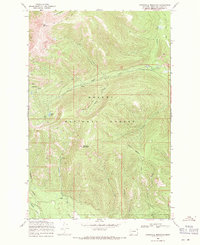
1968 · Stonewall Mountain
USGS Topo · 1:24,000
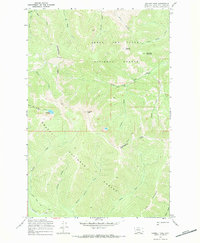
1968 · Caribou Peak
USGS Topo · 1:24,000
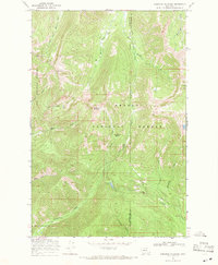
1968 · Arrastra Mountain
USGS Topo · 1:24,000