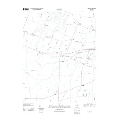
2013 Map of Heath
USGS Topo · Published 2013About this map
The Old Kentucky Ordnance Works dominates the northern landscape of this region, reflecting the significant military and industrial legacy west of Paducah. This 2013 survey illustrates a landscape defined by small, clustered communities such as Grahamville, Heath, and West Future City alongside the sprawling infrastructure of the Barkley Regional Airport. The settlement pattern is deeply connected to the local drainage basins of Bayou Cr and W Fork Massac Cr, which wind through the terrain.
Find a feature on this map
119 named features on this map. Tap any name to fly to it.
Don’t see what you’re looking for? This feature index may not catch every label — zoom into the map to look around manually.
Map Details
Editions of this 2013 Heath Map
This is the sole edition of this map. No revisions or reprints were ever made.
Other maps of this area

1926 · Paducah
USGS Topo · 1:62,500

1928 · La Center
USGS Topo · 1:62,500

1929 · Paducah
USGS Topo · 1:62,500

1932 · La Center
USGS Topo · 1:62,500

1936 · Melber
USGS Topo · 1:24,000

1940 · Paducah
USGS Topo · 1:62,500

1949 · Paducah
USGS Topo · 1:250,000

1950 · Paducah
USGS Topo · 1:250,000

1951 · Blandville
USGS Topo · 1:24,000

1951 · Melber
USGS Topo · 1:24,000