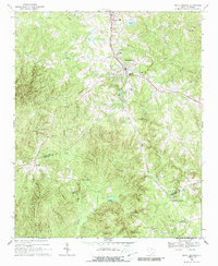
1968 Map of Heath Springs
USGS Topo · Published 1988About this map
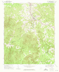
Heath Springs serves as the primary hub of this 1960s landscape, situated along the Southern rail line at the border of Lancaster and Kershaw counties. The town is flanked by academic and agricultural markers, including Hillside High Sch and a State Fish Hatchery located just south of the main settlement. The terrain is notably etched by historical and geological landmarks, most prominently the Hanging Rock Battleground near the center of the sheet, a site marking a significant Revolutionary War encounter.
Find a feature on this map
42 named features on this map. Tap any name to fly to it.
Don’t see what you’re looking for? This feature index may not catch every label — zoom into the map to look around manually.
Map Details
Editions of this 1968 Heath Springs Map
2 editions found
Other maps of this area
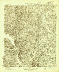
1935 · Camden
USGS Topo · 1:48,000
1938 · Camden
USGS Topo · 1:62,500

1941 · Spartanburg
USGS Topo · 1:250,000

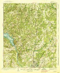
1942 · Camden
USGS Topo · 1:125,000

1953 · Spartanburg
USGS Topo · 1:250,000

1960 · Spartanburg
USGS Topo · 1:250,000

1963 · Spartanburg
USGS Topo · 1:250,000

1964 · Spartanburg
USGS Topo · 1:250,000
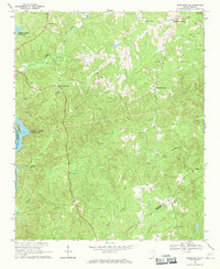
1968 · Lancaster SE
USGS Topo · 1:24,000
1968 · Heath Springs
USGS Topo · 1:24,000