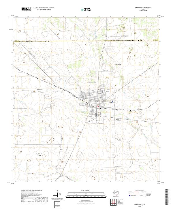
2022 Map of Hebbronville
USGS Topo · Published 2022About this map
Hebbronville serves as the focal point of this South Texas landscape, situated at the boundary of Duval and Jim Hogg counties. As the county seat, the town is anchored by the Jim Hogg County Courthouse, while its history is preserved at the Old Hebbronville Cem and the more modern New Hebbronville Cem. The surrounding brush country is defined by extensive ranching properties, including Gruy Ranch Rd, Reyna Ranch Rd, and Vela Ranch Rd, which branch out across the undulating terrain. To the south, residential developments like South Fork Estates and the presence of the Jim Hogg County Airport indicate the community's modern layout. The drainage of the area is shaped by intermittent watercourses like Noriacitas Cr and Mesquite Cr, which carve through the land towards the Arroyo de Magueyes.
Find a feature on this map
63 named features on this map. Tap any name to fly to it.
Don’t see what you’re looking for? This feature index may not catch every label — zoom into the map to look around manually.
Map Details
Editions of this 2022 Hebbronville Map
This is the sole edition of this map. No revisions or reprints were ever made.
Other maps of this area

1939 · Bruni
USGS Topo · 1:62,500

1939 · Randado
USGS Topo · 1:62,500

1940 · Randado
USGS Topo · 1:62,500

1956 · Laredo
USGS Topo · 1:250,000

1967 · Hebbronville SE
USGS Topo · 1:24,000

1967 · Realitos
USGS Topo · 1:24,000

1967 · Hebbronville NW
USGS Topo · 1:24,000

1967 · Hebbronville
USGS Topo · 1:24,000

1972 · Armstrong Ranch
USGS Topo · 1:24,000

1972 · Bruni SE
USGS Topo · 1:24,000
Featured Places
- Hebbronville, TX
- South Fork Colonia, TX
- Las Lomitas C Colonia, TX
- Las Lomitas A Colonia, TX
- Las Lomitas B Colonia, TX