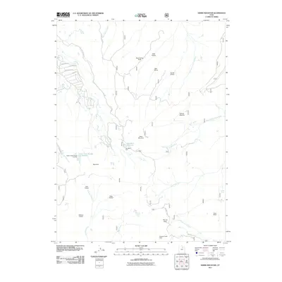
2011 Map of Heber Mountain
USGS Topo · Published 2011About this map
Heber Mountain stands as a central high point in this landscape of the Wasatch Range, where complex water systems manage the flow between the Great Basin and the Colorado River drainage. Managed water storage is evident at Dee Mills Reservoir and Center Creek Number Five Reservoir, both supported by their respective dams. The terrain is deeply incised by drainages like Buck Hollow, Bear Hollow, and Dip Vat Hollow, while the residential expansion near Timber Lakes is visible through a network of local roads such as Blue Spruce Dr and Aspen Rd. This high-country environment serves as a critical headwater area, with the Strawberry River and Currant Creek flowing southward. Diverse topographic features like Harvey Meadow and Roundy Basin suggest a long history of seasonal land use, from grazing to recreation, punctuated by landmarks such as Mair Spring and Indian Spring.
Find a feature on this map
38 named features on this map. Tap any name to fly to it.
Don’t see what you’re looking for? This feature index may not catch every label — zoom into the map to look around manually.
Map Details
Editions of this 2011 Heber Mountain Map
This is the sole edition of this map. No revisions or reprints were ever made.
Other maps of this area

1885 · Salt Lake
USGS Topo · 1:250,000

1900 · Coalville
USGS Topo · 1:125,000

1903 · Coalville
USGS Topo · 1:125,000

1907 · Strawberry Valley
USGS Topo · 1:125,000

1909 · Strawberry Valley
USGS Topo · 1:125,000

1954 · Salt Lake City
USGS Topo · 1:250,000

1958 · Salt Lake City
USGS Topo · 1:250,000

1960 · Salt Lake City
USGS Topo · 1:250,000

1967 · Francis
USGS Topo · 1:24,000
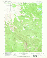
1967 · Center Creek
USGS Topo · 1:24,000