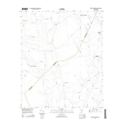
2014 Map of Hebron Crossroads
USGS Topo · Published 2014About this map
Pudding Swamp and Douglas Swamp dominate the low-lying interior of this South Carolina landscape, defining the rural character of the border between Clarendon and Williamsburg counties. Historically significant small settlements are clustered at intersections throughout the region, including Barrineau Crossroads in the north and Hebron Crossroads to the east. These junctions served as vital community hubs for the surrounding agricultural lands.
Find a feature on this map
63 named features on this map. Tap any name to fly to it.
Don’t see what you’re looking for? This feature index may not catch every label — zoom into the map to look around manually.
Map Details
Editions of this 2014 Hebron Crossroads Map
This is the sole edition of this map. No revisions or reprints were ever made.
Other maps of this area

1920 · Mayesville
USGS Topo · 1:48,000

1920 · Manning
USGS Topo · 1:48,000

1921 · Manning
USGS Topo · 1:62,500

1921 · Mayesville
USGS Topo · 1:62,500

1943 · Mayesville
USGS Topo · 1:62,500

1944 · Manning
USGS Topo · 1:62,500

1946 · Kingstree
USGS Topo · 1:62,500

1946 · Lake City
USGS Topo · 1:62,500

1949 · Georgetown
USGS Topo · 1:250,000

1954 · Augusta
USGS Topo · 1:250,000
Featured Places
- Terrell Crossroad, SC
- Hebron Crossroads, SC
- Barrineau Crossroads, SC
- Union Crossroads, SC
- Clarendon County, SC