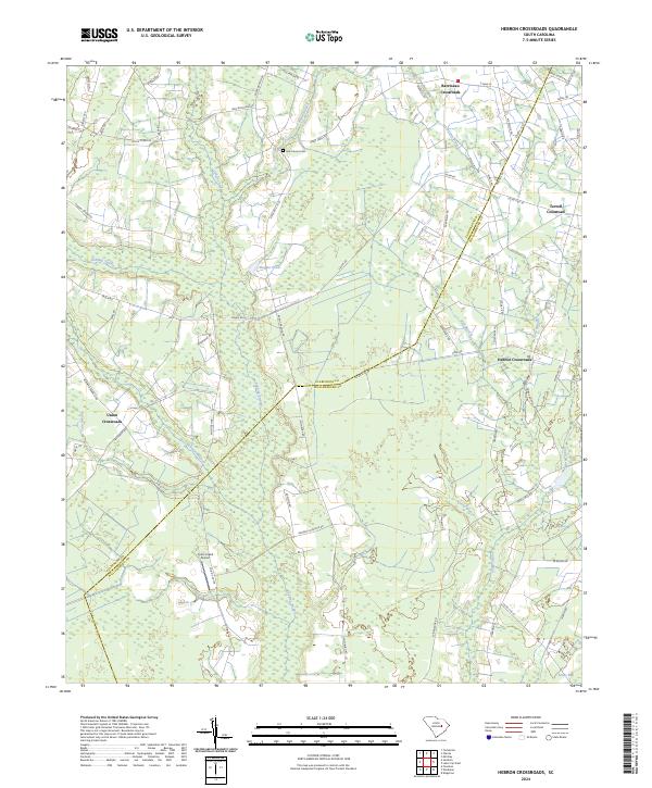
2024 Map of Hebron Crossroads
USGS Topo · Published 2024About this map
The boundary between Clarendon and Williamsburg Counties runs diagonally through a landscape defined by an intricate network of wetlands and rural hubs. Central to this area is the extensive Puddin Swamp, which, along with Douglas Swamp and Clapp Swamp, dictates the placement of the region’s early roads and small settlements. These intersections form the backbone of local geography, notably at Hebron Crossroads, Barrineau Crossroads, Terrell Crossroads, and Union Crossroads.
Find a feature on this map
69 named features on this map. Tap any name to fly to it.
Don’t see what you’re looking for? This feature index may not catch every label — zoom into the map to look around manually.
Map Details
Editions of this 2024 Hebron Crossroads Map
This is the sole edition of this map. No revisions or reprints were ever made.
Other maps of this area

1920 · Mayesville
USGS Topo · 1:48,000

1920 · Manning
USGS Topo · 1:48,000

1921 · Manning
USGS Topo · 1:62,500

1921 · Mayesville
USGS Topo · 1:62,500

1943 · Mayesville
USGS Topo · 1:62,500

1944 · Manning
USGS Topo · 1:62,500

1946 · Kingstree
USGS Topo · 1:62,500

1946 · Lake City
USGS Topo · 1:62,500

1949 · Georgetown
USGS Topo · 1:250,000

1954 · Augusta
USGS Topo · 1:250,000
Featured Places
- Hebron Crossroads, SC
- Terrell Crossroad, SC
- Union Crossroads, SC
- Barrineau Crossroads, SC
- Clarendon County, SC