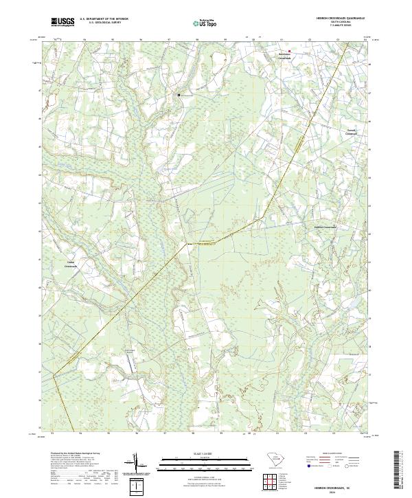
2024 Map of Hebron Crossroads
USGS Topo · Published 2024This historical map portrays the area of Hebron Crossroads in 2024, primarily covering Clarendon County as well as portions of Williamsburg County. Featuring a scale of 1:24000, this map provides a highly detailed snapshot of the terrain, roads, buildings, counties, and historical landmarks in the Hebron Crossroads region at the time. Published in 2024, it is the sole known edition of this map.
Map Details
Editions of this 2024 Hebron Crossroads Map
This is the sole edition of this map. No revisions or reprints were ever made.
Historical Maps of Barrineau Crossroads Through Time
13 maps found
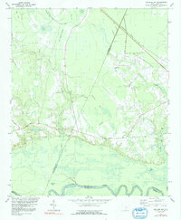
1979 Butlers Bay
Clarendon County, SC
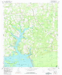
1980 Jordan
Clarendon County, SC
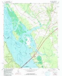
1980 Saint Paul
Clarendon County, SC
1983 Sardinia
Clarendon County, SC
1983 Tearcoat Branch
Clarendon County, SC
1990 Hebron Crossroads
Clarendon County, SC
1994 Saint Paul
Clarendon County, SC
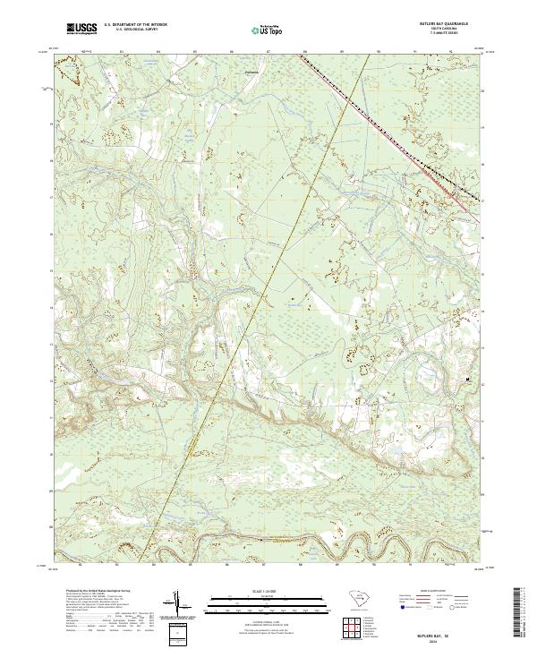
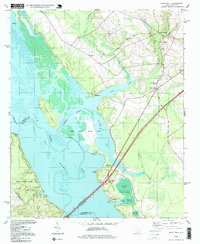
2024 Butlers Bay
Clarendon County, SC
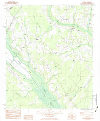
2024 Hebron Crossroads
Clarendon County, SC
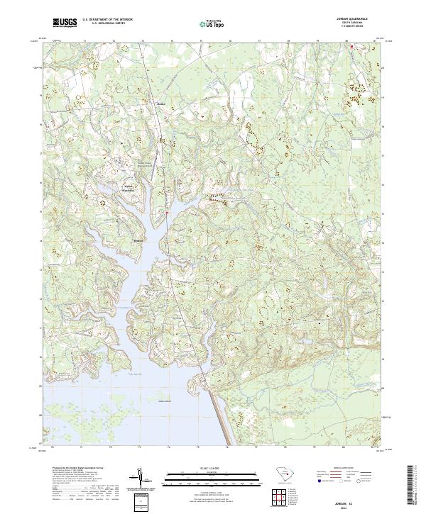
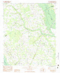
2024 Jordan
Clarendon County, SC
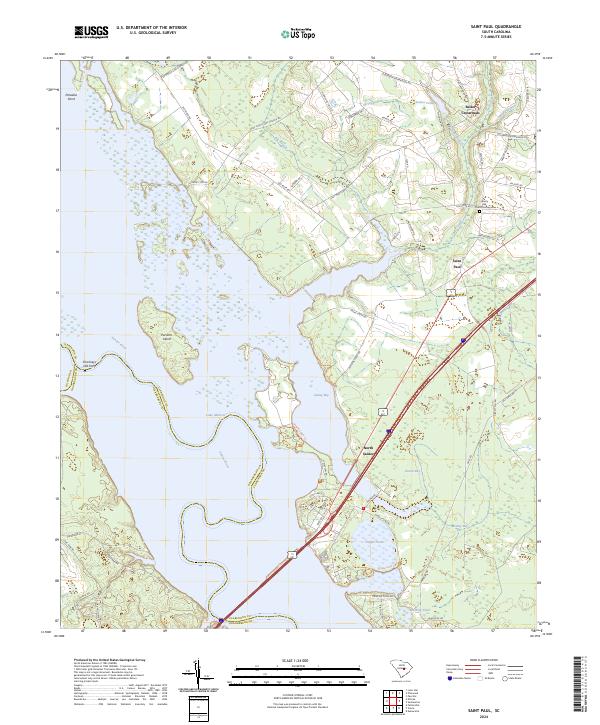
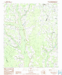
2024 Saint Paul
Clarendon County, SC
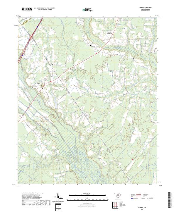
2024 Sardinia
Clarendon County, SC
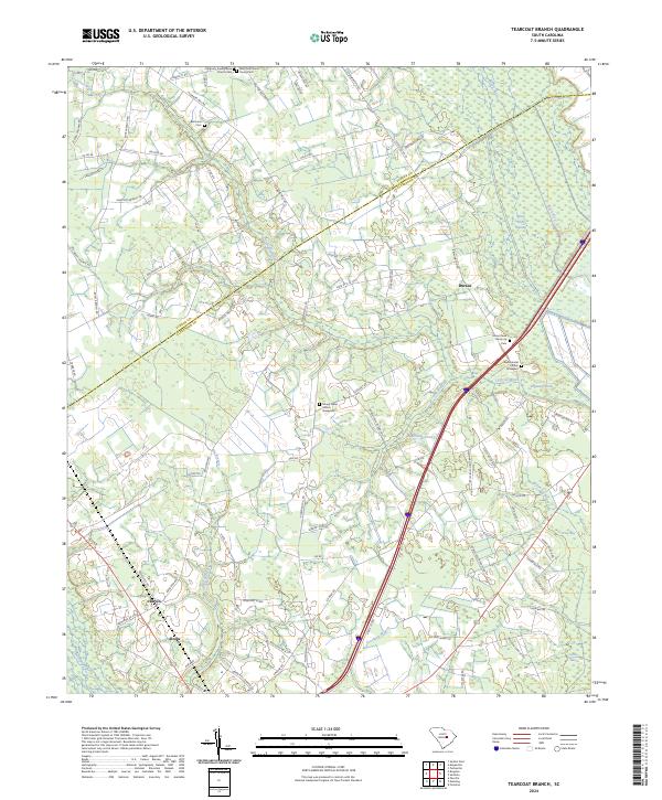
2024 Tearcoat Branch
Clarendon County, SC
Featured Locations
- Clarendon County, SC
- Hebron Crossroads, SC
- Terrell Crossroad, SC
- Barrineau Crossroads, SC
- Union Crossroads, SC