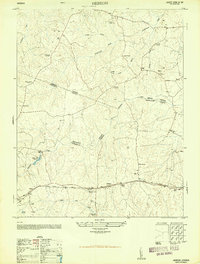
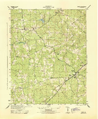
1950 Map of Hebron
USGS Topo · Published 1950About this map
Norfolk And Western rail lines anchor the southern corridor of this Virginia landscape, connecting the settlements of Wilson and Hebron. The geography is defined by a complex intersection of political boundaries where Amelia, Nottoway, and Dinwiddie counties meet. A high concentration of community centers and rural institutions, such as the King David Lodge Hall and Mission Light School, indicates a well-established social fabric. Economic activity is visible through several scattered Sawmill sites and Hobbs Mill, situated near the Hobbs Mill Ponds along Namozine Creek. The map provides a detailed view of family-named landmarks and rural gathering places like Mallorys Store and Harris Store, which served as local hubs before the expansion of modern highway systems. Waterways like Winticomack Creek and White Oak Creek weave through the terrain, further influencing the placement of early cemeteries and numerous country churches, including Mt Hope Church and Poplar Hill Church.
Find a feature on this map
41 named features on this map. Tap any name to fly to it.
Don’t see what you’re looking for? This feature index may not catch every label — zoom into the map to look around manually.
Map Details
Editions of this 1950 Hebron Map
2 editions found
Other maps of this area

1897 · Amelia
USGS Topo · 1:125,000

1943 · Amelia
USGS Topo · 1:31,680

1943 · Goodes Bridge
USGS Topo · 1:31,680

1943 · De Witt
USGS Topo · 1:24,000

1943 · Church Road
USGS Topo · 1:24,000

1943 · Winterpock
USGS Topo · 1:24,000

1943 · Richmond
USGS Topo · 1:250,000
1944 · Winterpock
USGS Topo · 1:31,680
1944 · Church Road
USGS Topo · 1:31,680
1944 · DeWitt
USGS Topo · 1:31,680