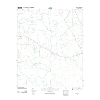
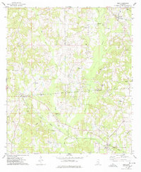
2012 Map of Hebron
USGS Topo · Published 2012About this map
The community of Hebron and the meandering southern course of the Leaf River anchor this Jones County landscape in the early 21st century. The map reveals a deeply established rural network defined by its small family burial grounds and numerous creek branches. Genealogists can locate several key sites including Hebron Cem, Big Creek Cem, Harper Cem, and Ellzey Cem, which serve as vital markers of local heritage.
Find a feature on this map
102 named features on this map. Tap any name to fly to it.
Don’t see what you’re looking for? This feature index may not catch every label — zoom into the map to look around manually.
Map Details
Editions of this 2012 Hebron Map
This is the sole edition of this map. No revisions or reprints were ever made.
Other maps of this area

1953 · Hattiesburg
USGS Topo · 1:250,000

1958 · Hattiesburg
USGS Topo · 1:250,000
1964 · Moss
USGS Topo · 1:24,000
1964 · Laurel West
USGS Topo · 1:24,000
1964 · Seminary
USGS Topo · 1:24,000
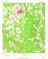
1964 · Ellisville
USGS Topo · 1:24,000
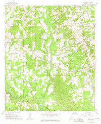
1965 · Hebron
USGS Topo · 1:24,000
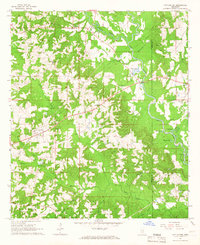
1965 · Hot Coffee
USGS Topo · 1:24,000
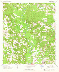
1965 · Moselle
USGS Topo · 1:24,000
1974 · Soso
USGS Topo · 1:24,000