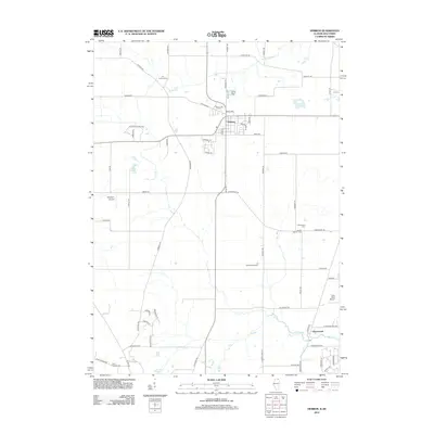
2012 Map of Hebron
USGS Topo · Published 2012About this map
The village of Hebron and the settlement of Greenwood anchor this 2012 survey of the Illinois-Wisconsin borderlands. Characterized by a traditional grid of rural roads and the meandering path of the N Br Nippersink Cr, the landscape reflects a long-standing agricultural and aviation history. Three distinct airfields—Bingham Airport, Hebron Airport, and Galt Field Airport—point to a unique regional reliance on small-scale aviation within the farming community.
Find a feature on this map
65 named features on this map. Tap any name to fly to it.
Don’t see what you’re looking for? This feature index may not catch every label — zoom into the map to look around manually.
Map Details
Editions of this 2012 Hebron Map
This is the sole edition of this map. No revisions or reprints were ever made.
Other maps of this area

1893 · Delavan
USGS Topo · 1:62,500

1893 · Geneva
USGS Topo · 1:62,500

1904 · Lake Geneva
USGS Topo · 1:62,500

1906 · Lake Geneva
USGS Topo · 1:62,500

1926 · Mc Henry
USGS Topo · 1:62,500

1932 · Harvard
USGS Topo · 1:48,000

1937 · Harvard
USGS Topo · 1:62,500

1944 · McHenry
USGS Topo · 1:62,500

1954 · Rockford
USGS Topo · 1:250,000

1955 · Rockford
USGS Topo · 1:250,000