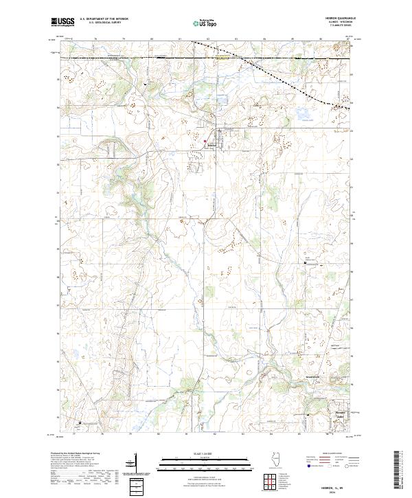
2024 Map of Hebron
USGS Topo · Published 2024About this map
The village of Hebron anchors the northern portion of this landscape, situated just south of the Wisconsin-Illinois border where Walworth and McHenry counties meet. This modern survey illustrates the conservation landscape of the region, specifically the fragmented sections of the Hackmatack National Wildlife Refuge that occupy large tracts of marshland and prairie. The transition from the structured streets of Hebron to the southern unincorporated area of Greenwood and the northern edge of Wonder Lake reflects the region's mixture of traditional agricultural land and growing recreational corridors.
Find a feature on this map
70 named features on this map. Tap any name to fly to it.
Don’t see what you’re looking for? This feature index may not catch every label — zoom into the map to look around manually.
Map Details
Editions of this 2024 Hebron Map
This is the sole edition of this map. No revisions or reprints were ever made.
Other maps of this area

1893 · Delavan
USGS Topo · 1:62,500

1893 · Geneva
USGS Topo · 1:62,500

1904 · Lake Geneva
USGS Topo · 1:62,500

1906 · Lake Geneva
USGS Topo · 1:62,500

1926 · Mc Henry
USGS Topo · 1:62,500

1932 · Harvard
USGS Topo · 1:48,000

1937 · Harvard
USGS Topo · 1:62,500

1944 · McHenry
USGS Topo · 1:62,500

1954 · Rockford
USGS Topo · 1:250,000

1955 · Rockford
USGS Topo · 1:250,000