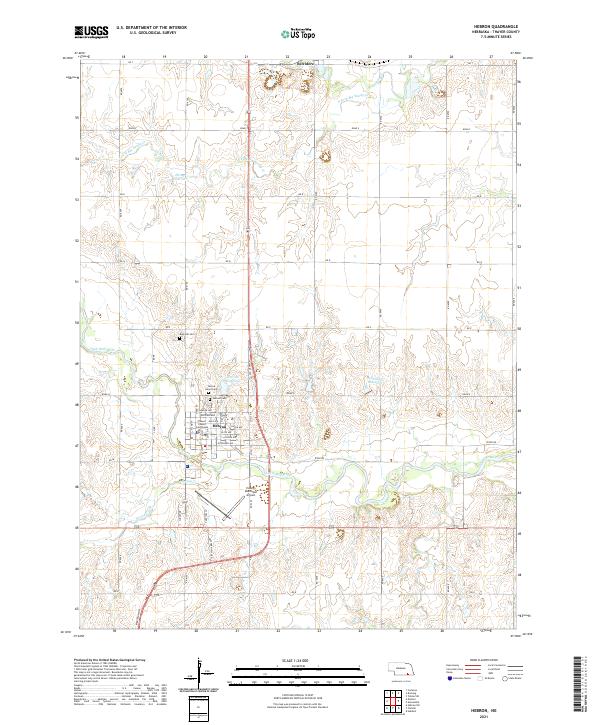
2021 Map of Hebron
USGS Topo · Published 2021About this map
Hebron serves as a significant hub for Thayer County, centered around the Thayer County Courthouse and a detailed grid of residential streets including Lincoln Ave and Jefferson Ave. The surrounding landscape is defined by the winding course of the Little Blue River and its various tributaries like Spring Creek and South Fork Big Sandy Creek. These waterways are complemented by several man-made water bodies such as Elting Reservoir and Dondlinger Reservoir, which suggest the importance of water management in this agricultural region.
Find a feature on this map
59 named features on this map. Tap any name to fly to it.
Don’t see what you’re looking for? This feature index may not catch every label — zoom into the map to look around manually.
Map Details
Editions of this 2021 Hebron Map
This is the sole edition of this map. No revisions or reprints were ever made.
Other maps of this area

1898 · Hebron
USGS Topo · 1:125,000

1955 · Lincoln
USGS Topo · 1:250,000

1957 · Lincoln
USGS Topo · 1:250,000

1958 · Lincoln
USGS Topo · 1:250,000

1960 · Bruning
USGS Topo · 1:24,000

1960 · Chester
USGS Topo · 1:24,000

1960 · Hubbell
USGS Topo · 1:24,000

1960 · Carleton
USGS Topo · 1:24,000

1960 · Tobias SW
USGS Topo · 1:24,000

1960 · Alexandria
USGS Topo · 1:24,000