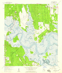
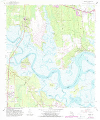
1958 Map of Hedges
USGS Topo · Published 1959About this map
Nassau River tides dictate the geography of this 1950s coastal survey, where the boundary between Nassau County and Duval County follows the twisting main channel. Small settlements such as Nassauville and Hedges are established on the higher ground between sprawling marshlands and intricate tidal systems like Lofton Creek and Edwards Creek. The interior landscape is marked by the Seaboard Air Line RR and a network of named roads including Yellow Bluff Road and Grandaddy Road. Local family history is preserved at sites like Bowles Cem and Ferreira Cem, alongside rural congregations at Spring Hill Ch and Prince Chapel. The survey records a specific coastal economy of river landings, including Jerry Landing and Homer Landing, and the early development of Yulee Heights and Pecan Park.
Find a feature on this map
53 named features on this map. Tap any name to fly to it.
Don’t see what you’re looking for? This feature index may not catch every label — zoom into the map to look around manually.
Map Details
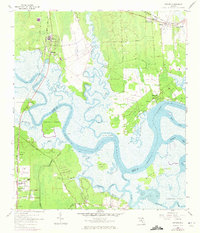
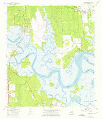
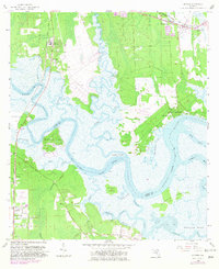
Editions of this 1958 Hedges Map
6 editions found
Other maps of this area

1918 · St Marys
USGS Topo · 1:62,500

1918 · Jacksonville
USGS Topo · 1:62,500

1918 · Mayport
USGS Topo · 1:62,500

1919 · Fernandina
USGS Topo · 1:62,500

1919 · St Marys
USGS Topo · 1:62,500

1944 · Fernandina
USGS Topo · 1:62,500

1948 · Jacksonville
USGS Topo · 1:250,000

1948 · Eastport
USGS Topo · 1:24,000
1950 · Mayport
USGS Topo · 1:24,000

1950 · Trout River
USGS Topo · 1:24,000