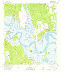
1958 Map of Hedges
USGS Topo · Published 1975About this map
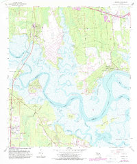
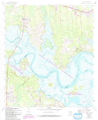
The Nassau River dominates this coastal landscape, carving a complex network of tidal waterways and islands along the border of Nassau Co and Duval Co. In the late 1950s, the region was defined by its water-dependent settlements and crossings, from the small community of Nassauville to the landings at Jerry Landing and Homer Landing. The tidal marshes are punctuated by substantial landmasses like Halfmoon Island and Burton Island, while the southern reaches show the early residential footprint of Pecan Park and Tisonia.
Find a feature on this map
53 named features on this map. Tap any name to fly to it.
Don’t see what you’re looking for? This feature index may not catch every label — zoom into the map to look around manually.
Map Details
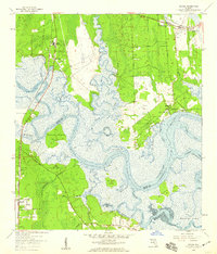
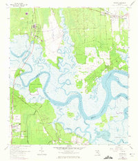
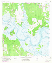
Editions of this 1958 Hedges Map
6 editions found
Other maps of this area

1918 · St Marys
USGS Topo · 1:62,500

1918 · Jacksonville
USGS Topo · 1:62,500

1918 · Mayport
USGS Topo · 1:62,500

1919 · Fernandina
USGS Topo · 1:62,500

1919 · St Marys
USGS Topo · 1:62,500

1944 · Fernandina
USGS Topo · 1:62,500

1948 · Jacksonville
USGS Topo · 1:250,000

1948 · Eastport
USGS Topo · 1:24,000
1950 · Mayport
USGS Topo · 1:24,000

1950 · Trout River
USGS Topo · 1:24,000