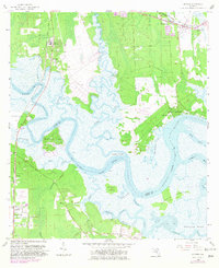
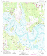
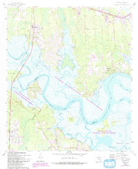
1958 Map of Hedges
USGS Topo · Published 1982About this map
Lofton Creek and its serpentine marshes define the transition between Nassau and Duval Co in this detailed look at coastal Florida. The landscape is a network of tidal waterways and islands, where the Nassau River separates Pearson Island and Burton Island from the mainland settlements. Inland, the Seaboard Coast Line railroad runs parallel to the coastline, supporting small communities such as Yulee Heights, Hedges, and O'Neil.
Find a feature on this map
56 named features on this map. Tap any name to fly to it.
Don’t see what you’re looking for? This feature index may not catch every label — zoom into the map to look around manually.
Map Details
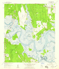
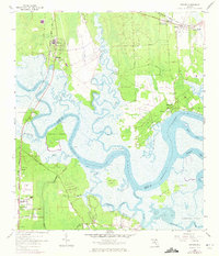
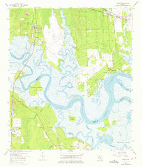
Editions of this 1958 Hedges Map
6 editions found
Other maps of this area

1918 · St Marys
USGS Topo · 1:62,500

1918 · Jacksonville
USGS Topo · 1:62,500

1918 · Mayport
USGS Topo · 1:62,500

1919 · Fernandina
USGS Topo · 1:62,500

1919 · St Marys
USGS Topo · 1:62,500

1944 · Fernandina
USGS Topo · 1:62,500

1948 · Jacksonville
USGS Topo · 1:250,000

1948 · Eastport
USGS Topo · 1:24,000
1950 · Mayport
USGS Topo · 1:24,000

1950 · Trout River
USGS Topo · 1:24,000