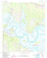
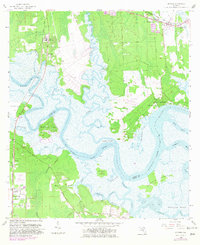
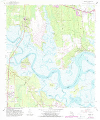
1958 Map of Hedges
USGS Topo · Published 1992About this map
The Nassau River dominates this landscape, winding through a complex system of marshes and islands at the border of Nassau and Duval counties. This 1958 survey, updated with late-twentieth-century details, documents the river-dependent settlements and landings that define the area, including Hedges, Nassauville, and O'Neil. Large portions of the terrain are dedicated to the Timucuan National Ecological and Historic Preserve, protecting the intricate network of tidal creeks like Lofton Creek, Christopher Creek, and Mink Creek.
Find a feature on this map
55 named features on this map. Tap any name to fly to it.
Don’t see what you’re looking for? This feature index may not catch every label — zoom into the map to look around manually.
Map Details
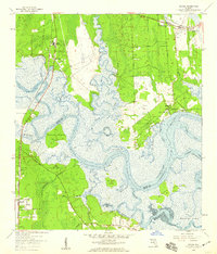
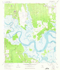
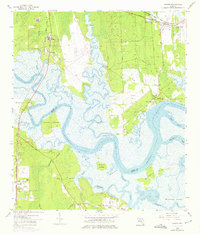
Editions of this 1958 Hedges Map
6 editions found
Other maps of this area

1918 · St Marys
USGS Topo · 1:62,500

1918 · Jacksonville
USGS Topo · 1:62,500

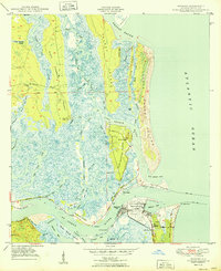
1918 · Mayport
USGS Topo · 1:62,500

1919 · Fernandina
USGS Topo · 1:62,500

1919 · St Marys
USGS Topo · 1:62,500

1944 · Fernandina
USGS Topo · 1:62,500

1948 · Jacksonville
USGS Topo · 1:250,000

1948 · Eastport
USGS Topo · 1:24,000
1950 · Mayport
USGS Topo · 1:24,000

1950 · Trout River
USGS Topo · 1:24,000