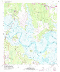
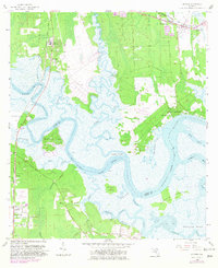
1958 Map of Hedges
USGS Topo · Published 1988About this map
Nassau River defines the tidal landscape along the border of Nassau and Duval counties, winding through a complex network of marshlands and low-lying islands. Small family settlements and landings such as Hedges, Nassauville, and Henderson Landing are tucked along the banks of Lofton Creek and Starrett Creek, illustrating a community deeply connected to the coastal waterways. The map highlights numerous small churches, including Mt Zion Ch and Prince Chapel, which served as local anchors for these rural pockets.
Find a feature on this map
57 named features on this map. Tap any name to fly to it.
Don’t see what you’re looking for? This feature index may not catch every label — zoom into the map to look around manually.
Map Details
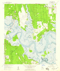
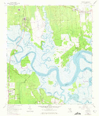
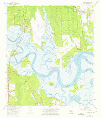
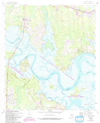
Editions of this 1958 Hedges Map
6 editions found
Other maps of this area

1918 · St Marys
USGS Topo · 1:62,500

1918 · Jacksonville
USGS Topo · 1:62,500

1918 · Mayport
USGS Topo · 1:62,500

1919 · Fernandina
USGS Topo · 1:62,500

1919 · St Marys
USGS Topo · 1:62,500

1944 · Fernandina
USGS Topo · 1:62,500

1948 · Jacksonville
USGS Topo · 1:250,000

1948 · Eastport
USGS Topo · 1:24,000
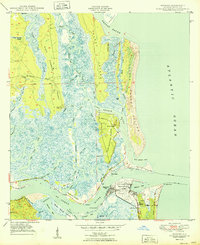
1950 · Mayport
USGS Topo · 1:24,000

1950 · Trout River
USGS Topo · 1:24,000