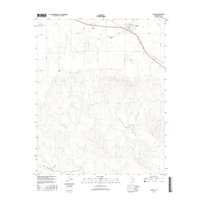
2016 Map of Hedley
USGS Topo · Published 2016About this map
Hedley sits at the northern edge of this survey, serving as a hub for the surrounding ranching and agricultural lands of Donley County. The town site is structured around a grid of streets including Main St, Jones St, and Railroad St, mirroring the path of the rail corridor that parallels 2nd St. North of the settlement, the terrain is marked by named depressions and basins like Windy Valley and Crow Hollow, which transition into the drainage networks of the Texas Panhandle.
Find a feature on this map
35 named features on this map. Tap any name to fly to it.
Don’t see what you’re looking for? This feature index may not catch every label — zoom into the map to look around manually.
Map Details
Editions of this 2016 Hedley Map
This is the sole edition of this map. No revisions or reprints were ever made.
Other maps of this area

1954 · Plainview
USGS Topo · 1:250,000

1958 · Plainview
USGS Topo · 1:250,000

1959 · Lelia Lake Creek
USGS Topo · 1:24,000

1959 · McKnight
USGS Topo · 1:24,000

1960 · Brice
USGS Topo · 1:62,500

1961 · Memphis
USGS Topo · 1:62,500

1962 · Lelia Lake
USGS Topo · 1:24,000

1963 · Hedley
USGS Topo · 1:24,000

1963 · Clarendon SE
USGS Topo · 1:24,000

1963 · Giles
USGS Topo · 1:24,000