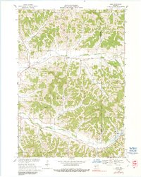
1969 Map of Hegg
USGS Topo · Published 1991About this map
The Driftless Area of Trempealeau and Jackson counties is defined here by a dense network of coulees, where rural life settled into the sheltered valleys of the late 1960s. The landscape is structured around the North Fork Beaver Creek and South Fork Beaver Creek, with small communities like Hegg and Beachs Corners serving as local anchors. Family-named landmarks such as Salzwedel Coulee, Borreson Coulee, and Stenson Coulee suggest a deep genealogical history tied to specific landholdings. This survey reflects a traditional Wisconsin farming landscape, where country churches like North Beaver Creek Ch and Faith Ch remain central to the township divisions. The presence of Pioneer Cem and the distinct elevation of Thimble Peak provide durable reference points for those tracing the development of Ettrick and Franklin townships.
Find a feature on this map
36 named features on this map. Tap any name to fly to it.
Don’t see what you’re looking for? This feature index may not catch every label — zoom into the map to look around manually.
Map Details
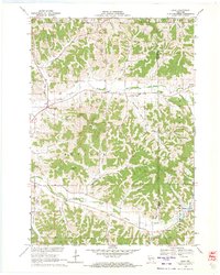
Editions of this 1969 Hegg Map
2 editions found
Other maps of this area

1926 · North Bend
USGS Topo · 1:62,500

1926 · Whitehall
USGS Topo · 1:62,500

1927 · Blair
USGS Topo · 1:62,500

1929 · Whitehall
USGS Topo · 1:62,500

1929 · Galesville
USGS Topo · 1:62,500

1929 · North Bend
USGS Topo · 1:62,500

1953 · Eau Claire
USGS Topo · 1:250,000

1958 · Eau Claire
USGS Topo · 1:250,000

1964 · Eau Claire
USGS Topo · 1:250,000
1968 · Blair
USGS Topo · 1:62,500