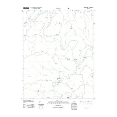
2011 Map of Heidelberg
USGS Topo · Published 2011About this map
The Kentucky River carves a deep, serpentine path through this 2011 survey, dictating the placement of settlements and transport routes across the Lee County landscape. Small communities like Heidelberg, Yellow Rock, and Cressmont are situated near the riverbanks or along the major creek valleys that feed the main channel. The topography is defined by high ridges, including Spencer Ridge, Hale Ridge, and Farmer Ridge, which separate the numerous drainages. A notable concentration of family and community burial grounds, such as Angel Cemetery, Brandenburg Cemetery, and Stonecoal Cemetery, are found throughout the area, often located on higher ground near historic homesteads. The map illustrates a complex network of local roads following the natural contours, such as Hale's Ridge Rd and Spencer Ridge Rd, highlighting a rural settlement pattern where life was closely tied to the valleys of Sturgeon Creek and Contrary Creek.
Find a feature on this map
78 named features on this map. Tap any name to fly to it.
Don’t see what you’re looking for? This feature index may not catch every label — zoom into the map to look around manually.
Map Details
Editions of this 2011 Heidelberg Map
This is the sole edition of this map. No revisions or reprints were ever made.
Other maps of this area

1891 · Manchester
USGS Topo · 1:125,000

1892 · Beattyville
USGS Topo · 1:125,000

1952 · Leighton
USGS Topo · 1:24,000

1952 · Beattyville
USGS Topo · 1:24,000

1952 · Cobhill
USGS Topo · 1:24,000

1952 · Heidelberg
USGS Topo · 1:24,000

1952 · Irvine
USGS Topo · 1:24,000

1953 · Mc Kee
USGS Topo · 1:24,000

1953 · Booneville
USGS Topo · 1:24,000

1953 · Sturgeon
USGS Topo · 1:24,000