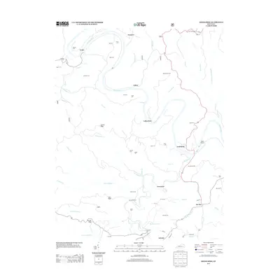
2013 Map of Heidelberg
USGS Topo · Published 2013About this map
The Kentucky River winds in dramatic loops through this Lee County landscape, anchoring several riverside settlements including Heidelberg and Yellow Rock. This 2013 topographic study highlights a region defined by its narrow ridges and deep hollows, such as Short Hollow, where small communities like Ida May and Evelyn are situated along the winding valley floors. The distribution of family burial grounds is particularly dense here, with the Beatty Place Cem, Stonecoal Cem, and Kell Cem serving as significant markers for genealogists tracing local lineage. The terrain is further dissected by numerous watercourses including Sturgeon Cr and Duck Fork, illustrating the complex drainage patterns that have historically shaped transport and habitation. Prominent elevations like Pinnacle and Hale Ridge provide a clear view of the area's relief, while locations such as Bear Track Camp indicate the modern recreational use of this rural terrain.
Find a feature on this map
65 named features on this map. Tap any name to fly to it.
Don’t see what you’re looking for? This feature index may not catch every label — zoom into the map to look around manually.
Map Details
Editions of this 2013 Heidelberg Map
This is the sole edition of this map. No revisions or reprints were ever made.
Other maps of this area

1891 · Manchester
USGS Topo · 1:125,000

1892 · Beattyville
USGS Topo · 1:125,000

1952 · Leighton
USGS Topo · 1:24,000

1952 · Beattyville
USGS Topo · 1:24,000

1952 · Cobhill
USGS Topo · 1:24,000

1952 · Heidelberg
USGS Topo · 1:24,000

1952 · Irvine
USGS Topo · 1:24,000

1953 · Mc Kee
USGS Topo · 1:24,000

1953 · Booneville
USGS Topo · 1:24,000

1953 · Sturgeon
USGS Topo · 1:24,000