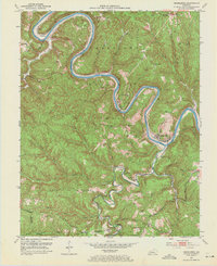
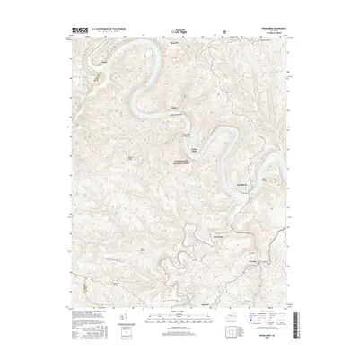
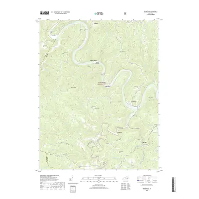
1952 Map of Heidelberg
USGS Topo · Published 1971About this map
The Kentucky River winds in deep loops through the Cumberland National Forest in this 1952 snapshot of Lee County. The river’s importance as a primary transportation artery is underscored by the presence of Lock No 13 and Lock No 14, while the Louisville and Nashville railroad tracks parallel its banks, serving settlements like Heidelberg and Yellow Rock. The rugged topography of Spencer Ridge and Hale Ridge limited agricultural development to the plateaus and narrow valleys, where numerous family cemeteries such as the Kall Cem and Angel Cem are located.
Find a feature on this map
70 named features on this map. Tap any name to fly to it.
Don’t see what you’re looking for? This feature index may not catch every label — zoom into the map to look around manually.
Map Details
Editions of this 1952 Heidelberg Map
2 editions found

Historical Maps of Willow Shoals Through Time
13 maps found
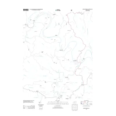
1952 Heidelberg
Lee County, KY
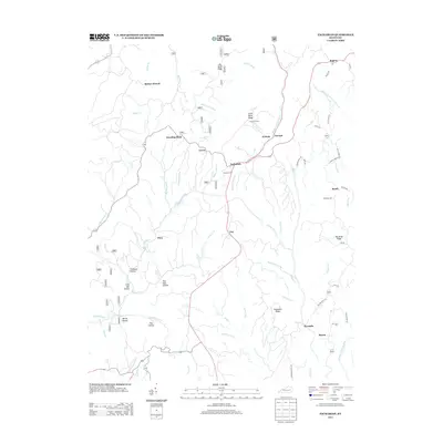
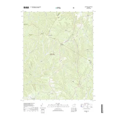
1953 Zachariah
Lee County, KY

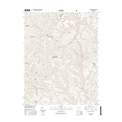
1966 Zachariah
Lee County, KY
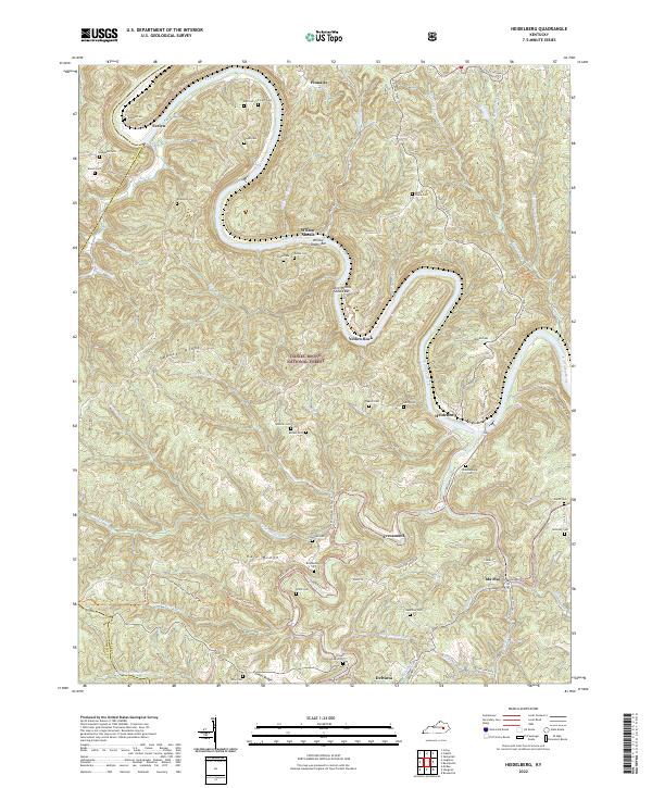
2011 Heidelberg
Lee County, KY
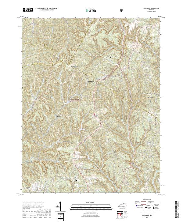
2011 Zachariah
Lee County, KY
2013 Heidelberg
Lee County, KY
2013 Zachariah
Lee County, KY
2016 Heidelberg
Lee County, KY
2016 Zachariah
Lee County, KY
2019 Heidelberg
Lee County, KY
2019 Zachariah
Lee County, KY
2022 Heidelberg
Lee County, KY
2022 Zachariah
Lee County, KY