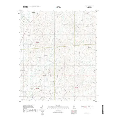
2020 Map of Heidelberg SW
USGS Topo · Published 2020About this map
Bogue Homo and its tributaries carve a complex drainage pattern through this corner of Jasper County, where the landscape is defined by the sharp relief of the Southern Pine Hills. This modern topographical survey reveals a territory dominated by timberlands and a dense network of secondary roads that follow the winding ridgelines and stream valleys. The hydrology of the region is anchored by Beaverdam Cr, which drains the northern sections of the map toward the larger river systems of southeastern Mississippi. The lack of large municipal centers on this specific sheet highlights the rural, resource-based character of the area, where land use is closely tied to the natural elevation and watercourses.
Find a feature on this map
2 named features on this map. Tap any name to fly to it.
Don’t see what you’re looking for? This feature index may not catch every label — zoom into the map to look around manually.
Map Details
Editions of this 2020 Heidelberg SW Map
This is the sole edition of this map. No revisions or reprints were ever made.
Other maps of this area

1953 · Hattiesburg
USGS Topo · 1:250,000

1958 · Hattiesburg
USGS Topo · 1:250,000

1963 · Waldrup
USGS Topo · 1:24,000

1963 · Heidelberg
USGS Topo · 1:24,000

1964 · Heidelberg SW
USGS Topo · 1:24,000

1964 · Sandersville
USGS Topo · 1:24,000

1964 · Eucutta
USGS Topo · 1:24,000

1964 · Laurel East
USGS Topo · 1:24,000

1964 · Myrick
USGS Topo · 1:24,000

1964 · Hale
USGS Topo · 1:24,000