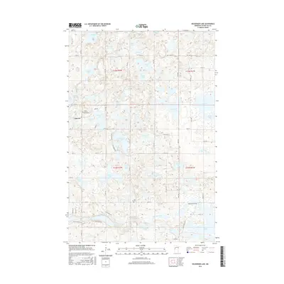
2016 Map of Heilberger Lake
USGS Topo · Published 2016About this map
Edwards sits at the western edge of a landscape defined by an incredibly dense concentration of glacial kettles and basins in central Minnesota. This 2016 survey illustrates the complex hydrography of the region, where named bodies of water like Heilberger Lake, Big Stone Lake, and Crystal Lake are separated by narrow ridges of drift. The Otter Tail River winds through the southern portion of the quadrangle, crossing under the Waterstreet Bridge as it connects the various lake systems. Local heritage sites are anchored by the Tonseth Lutheran Church Cem near Tonseth Lake and the Saint Paul Cem further south. The map provides a precise view of the modern road network, including Co HWY 24 and Co HWY 3, which navigate around the numerous wetlands and smaller basins such as Kempfer Lake and Evans Lake.
Find a feature on this map
76 named features on this map. Tap any name to fly to it.
Don’t see what you’re looking for? This feature index may not catch every label — zoom into the map to look around manually.
Map Details
Editions of this 2016 Heilberger Lake Map
This is the sole edition of this map. No revisions or reprints were ever made.
Other maps of this area

1912 · Vergas
USGS Topo · 1:62,500

1913 · Fergus Falls
USGS Topo · 1:62,500

1914 · Pelican Rapids
USGS Topo · 1:62,500

1915 · Underwood
USGS Topo · 1:62,500

1915 · Vergas
USGS Topo · 1:62,500

1917 · Pelican Rapids
USGS Topo · 1:62,500

1953 · Fargo
USGS Topo · 1:250,000

1953 · Brainerd
USGS Topo · 1:250,000

1956 · Fargo
USGS Topo · 1:250,000

1957 · Brainerd
USGS Topo · 1:250,000