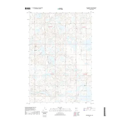
2019 Map of Heilberger Lake
USGS Topo · Published 2019About this map
The settlement of Edwards serves as a local anchor in this glaciated landscape of Otter Tail County, characterized by a dense concentration of kettle lakes and wetlands. The local heritage is preserved at the Tonseth Lutheran Church and its accompanying Tonseth Lutheran Church Cem, while the Saint Paul Cem sits further south near the winding path of the Otter Tail River. This river system connects significant water bodies like Schmidt Lake and West Lost Lake, revealing the hydrologic complexity of the region.
Find a feature on this map
55 named features on this map. Tap any name to fly to it.
Don’t see what you’re looking for? This feature index may not catch every label — zoom into the map to look around manually.
Map Details
Editions of this 2019 Heilberger Lake Map
This is the sole edition of this map. No revisions or reprints were ever made.
Other maps of this area

1912 · Vergas
USGS Topo · 1:62,500

1913 · Fergus Falls
USGS Topo · 1:62,500

1914 · Pelican Rapids
USGS Topo · 1:62,500

1915 · Underwood
USGS Topo · 1:62,500

1915 · Vergas
USGS Topo · 1:62,500

1917 · Pelican Rapids
USGS Topo · 1:62,500

1953 · Fargo
USGS Topo · 1:250,000

1953 · Brainerd
USGS Topo · 1:250,000

1956 · Fargo
USGS Topo · 1:250,000

1957 · Brainerd
USGS Topo · 1:250,000