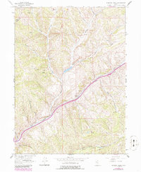
1964 Map of Heiners Creek
USGS Topo · Published 1986About this map
The Union Pacific railroad line carves a major transportation corridor through this high-elevation landscape, following the path of Echo Canyon in the mid-1960s. This survey, updated with late-twentieth-century revisions, documents the rugged geography along the border of Morgan Co and Summit Co. The map highlights a series of complex drainages including Heiners Creek, the Left Fork, and the South Fork, which create a deeply dissected terrain of canyons and hollows.
Find a feature on this map
21 named features on this map. Tap any name to fly to it.
Don’t see what you’re looking for? This feature index may not catch every label — zoom into the map to look around manually.
Map Details
Editions of this 1964 Heiners Creek Map
2 editions found
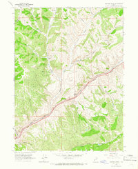
Other maps of this area

1885 · Salt Lake
USGS Topo · 1:250,000

1900 · Coalville
USGS Topo · 1:125,000

1903 · Coalville
USGS Topo · 1:125,000

1954 · Salt Lake City
USGS Topo · 1:250,000

1954 · Ogden
USGS Topo · 1:250,000

1958 · Ogden
USGS Topo · 1:250,000

1958 · Salt Lake City
USGS Topo · 1:250,000

1960 · Ogden
USGS Topo · 1:250,000

1960 · Salt Lake City
USGS Topo · 1:250,000

1964 · Lost Creek Dam
USGS Topo · 1:24,000