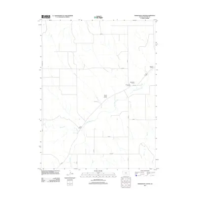
2012 Map of Heinzelman Canyon
USGS Topo · Published 2012About this map
The S Fork Republican River winds through this section of Cheyenne County, cutting a path through the high plains of western Kansas. The landscape is defined by its deep drainage patterns, with numerous named canyons such as Heinzelman Canyon and Morehouse Canyon feeding into the river valley. These landforms, including the evocatively named Hells Canyon, indicate a complex system of erosion and seasonal water flow characteristic of the region. The map shows a strictly organized grid of rural roads, such as Road DD and Round Tree Rd, which intersect the natural topography. This rigid section-line survey pattern reflects the long-standing agricultural land divisions of the Great Plains, where transport routes follow property boundaries regardless of the winding paths taken by local waterways like Hackberry Cr or Delay Cr.
Find a feature on this map
22 named features on this map. Tap any name to fly to it.
Don’t see what you’re looking for? This feature index may not catch every label — zoom into the map to look around manually.
Map Details
Editions of this 2012 Heinzelman Canyon Map
This is the sole edition of this map. No revisions or reprints were ever made.
Other maps of this area

1942 · St. Francis
USGS Topo · 1:62,500

1943 · St. Francis
USGS Topo · 1:62,500

1951 · St Francis
USGS Topo · 1:62,500

1951 · Bird City North
USGS Topo · 1:62,500

1954 · McCook
USGS Topo · 1:250,000

1954 · Goodland
USGS Topo · 1:250,000

1956 · Goodland
USGS Topo · 1:250,000

1957 · McCook
USGS Topo · 1:250,000

1957 · Goodland
USGS Topo · 1:250,000

1958 · McCook
USGS Topo · 1:250,000