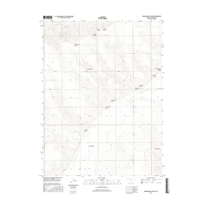
2015 Map of Heinzelman Canyon
USGS Topo · Published 2015About this map
S Fork Republican River cuts a wide, meandering path through this western Kansas landscape, serving as the primary geographical anchor for the surrounding canyons and draws. The terrain is defined by the intricate drainage patterns feeding into the river, including Nesbit Cr which enters from the north. This 2015 study by the U.S. Geological Survey illustrates the relationship between the high plains tableland and the deeply eroded valley systems that characterize Cheyenne County. The map reflects a predominantly rural and agricultural environment, where section lines and local roads follow the natural contours of the river valley, highlighting how the hydrology of the Republican River basin continues to dictate the local infrastructure and land use in this part of the High Plains.
Find a feature on this map
2 named features on this map. Tap any name to fly to it.
Don’t see what you’re looking for? This feature index may not catch every label — zoom into the map to look around manually.
Map Details
Editions of this 2015 Heinzelman Canyon Map
This is the sole edition of this map. No revisions or reprints were ever made.
Other maps of this area

1942 · St. Francis
USGS Topo · 1:62,500

1943 · St. Francis
USGS Topo · 1:62,500

1951 · St Francis
USGS Topo · 1:62,500

1951 · Bird City North
USGS Topo · 1:62,500

1954 · McCook
USGS Topo · 1:250,000

1954 · Goodland
USGS Topo · 1:250,000

1956 · Goodland
USGS Topo · 1:250,000

1957 · McCook
USGS Topo · 1:250,000

1957 · Goodland
USGS Topo · 1:250,000

1958 · McCook
USGS Topo · 1:250,000