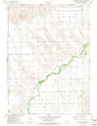
1976 Map of Heinzelman Canyon
USGS Topo · Published 1978About this map
The South Fork Republican River winds through the northwest corner of Kansas, creating a distinct riparian corridor amidst a landscape deeply etched by drainage canyons. This mid-1970s survey captures the rural character of Cheyenne County, where small agricultural settlements like Kettler and Douthit are situated among the high plains. The terrain is defined by numerous named draws including Heinzelman Canyon, Smutz Canyon, and the strikingly named Hells Canyon, many of which feed into the primary river valley or smaller tributaries like Hackberry Creek.
Find a feature on this map
24 named features on this map. Tap any name to fly to it.
Don’t see what you’re looking for? This feature index may not catch every label — zoom into the map to look around manually.
Map Details
Editions of this 1976 Heinzelman Canyon Map
This is the sole edition of this map. No revisions or reprints were ever made.
Other maps of this area

1942 · St. Francis
USGS Topo · 1:62,500

1943 · St. Francis
USGS Topo · 1:62,500

1951 · St Francis
USGS Topo · 1:62,500

1951 · Bird City North
USGS Topo · 1:62,500

1954 · McCook
USGS Topo · 1:250,000

1954 · Goodland
USGS Topo · 1:250,000

1956 · Goodland
USGS Topo · 1:250,000

1957 · McCook
USGS Topo · 1:250,000

1957 · Goodland
USGS Topo · 1:250,000

1958 · McCook
USGS Topo · 1:250,000