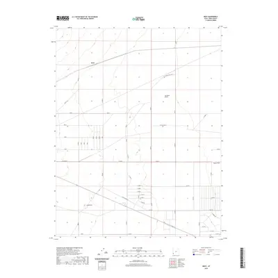
2020 Map of Heist
USGS Topo · Published 2020About this map
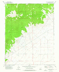
Heist sits within the arid expanse of the Escalante Desert in Iron County, where the landscape is defined by its sparse settlement and geometric road grid. This 2020 survey shows a network of thoroughfares like Antelope Rd and W Old Modena Rd that carve through the open basin, reflecting the organized ranching or agricultural divisions of the region. The natural topography is relatively level, interrupted by subtle rises such as Gray Knoll and the ephemeral drainage of Hogans Wash. Near the southern edge of the quadrangle, a cluster of residential or utilitarian routes including W Lake Rd and Sundowner suggest a localized pocket of activity or property development amidst the desert flats. The map serves as a detailed record of land use in this part of southwestern Utah, documenting the infrastructure connecting isolated rural tracts.
Find a feature on this map
22 named features on this map. Tap any name to fly to it.
Don’t see what you’re looking for? This feature index may not catch every label — zoom into the map to look around manually.
Map Details
Editions of this 2020 Heist Map
This is the sole edition of this map. No revisions or reprints were ever made.
Other maps of this area

1885 · St. George
USGS Topo · 1:250,000

1891 · St. George
USGS Topo · 1:250,000

1953 · Cedar City
USGS Topo · 1:250,000

1958 · Cedar City
USGS Topo · 1:250,000

1962 · Cedar City
USGS Topo · 1:250,000
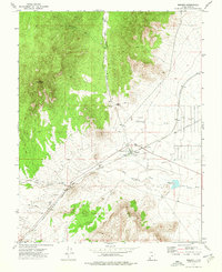
1972 · Modena
USGS Topo · 1:24,000
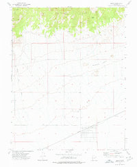
1972 · Beryl
USGS Topo · 1:24,000
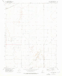
1972 · Yale Crossing
USGS Topo · 1:24,000
1972 · Bannion Spring
USGS Topo · 1:24,000

1972 · Pinon Point
USGS Topo · 1:24,000