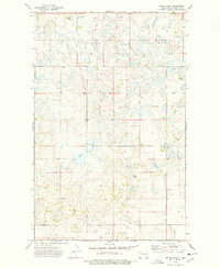
1974 Map of Helde Lake
USGS Topo · Published 1977About this map
The glaciated prairie of Burke County is defined by an intricate network of kettle lakes and wetlands in this mid-1970s survey. Within the civil townships of Lucy and Garness, the landscape is dominated by numerous named water bodies such as Helde Lake, Johnsons Lake, and Island Lake, reflecting the region's pothole geology. A solitary Town Hall in Lucy serves as a primary civic landmark amidst the rural sections, while transportation is anchored by the north-south route of Kings Highway.
Find a feature on this map
17 named features on this map. Tap any name to fly to it.
Don’t see what you’re looking for? This feature index may not catch every label — zoom into the map to look around manually.
Map Details
Editions of this 1974 Helde Lake Map
This is the sole edition of this map. No revisions or reprints were ever made.
Other maps of this area

1948 · Beaver Lake
USGS Topo · 1:24,000

1948 · Woburn
USGS Topo · 1:24,000

1949 · Rennie Lake
USGS Topo · 1:24,000

1950 · Flaxton
USGS Topo · 1:62,500

1950 · Portal
USGS Topo · 1:62,500

1953 · Williston
USGS Topo · 1:250,000

1957 · Williston
USGS Topo · 1:250,000
1974 · Thompson Lake
USGS Topo · 1:24,000

1974 · Grubb Lake
USGS Topo · 1:24,000

1974 · Lostwood Lakes
USGS Topo · 1:24,000