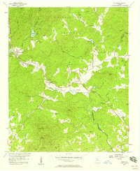
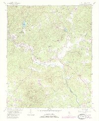
1957 Map of Helen
USGS Topo · Published 1958About this map
The Chattahoochee River carves through the North Georgia mountains in this late 1950s survey, anchoring a landscape where agriculture and emerging recreation coexist. In the Nacoochee Valley, the ancient Indian Mound remains a prominent landmark near Nacoochee, while the small alpine-style settlement of Helen sits just downstream from Robertstown. This era shows the early development of Unicol State Park and the specialized use of Sky Lake (Girl Scout Camp), indicating the region's shift toward seasonal tourism and conservation within the Chattahoochee National Forest.
Find a feature on this map
52 named features on this map. Tap any name to fly to it.
Don’t see what you’re looking for? This feature index may not catch every label — zoom into the map to look around manually.
Map Details
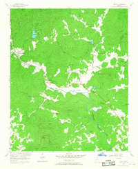
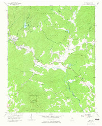
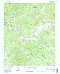
Editions of this 1957 Helen Map
5 editions found
Other maps of this area

1886 · Dahlonega
USGS Topo · 1:125,000

1892 · Dahlonega
USGS Topo · 1:125,000

1896 · Dahlonega
USGS Topo · 1:125,000

1903 · Dahlonega
USGS Topo · 1:125,000

1935 · Cowrock
USGS Topo · 1:24,000

1935 · Tray Mountain
USGS Topo · 1:24,000

1935 · Jacks Gap
USGS Topo · 1:24,000

1938 · Cowrock
USGS Topo · 1:24,000
1938 · Jacks Gap
USGS Topo · 1:24,000
1938 · Tray Mountain
USGS Topo · 1:24,000