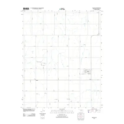
2012 Map of Helena
USGS Topo · Published 2012About this map
Helena serves as the primary hub of this Alfalfa County landscape, where the town's residential street grid is clearly defined amidst a vast network of section-line roads. The agricultural character of the region is punctuated by the North McWillie Oil Field, signaling the importance of mineral extraction alongside farming. To the southwest, the smaller settlement of McWillie sits near the headwaters of W Clay Cr, reflecting the dispersed nature of rural Oklahoma communities during this era. Water is a vital element of the geography, with Turkey Cr and Spring Cr cutting through the plains. Local history is anchored by the Rupert Cem in the southern portion of the quadrangle, providing a specific point of interest for genealogists tracking family heritage in the area. The map illustrates how transportation and natural drainage systems like E Clay Cr dictated the development of these High Plains settlements.
Find a feature on this map
50 named features on this map. Tap any name to fly to it.
Don’t see what you’re looking for? This feature index may not catch every label — zoom into the map to look around manually.
Map Details
Editions of this 2012 Helena Map
This is the sole edition of this map. No revisions or reprints were ever made.
Other maps of this area

1955 · Woodward
USGS Topo · 1:250,000

1956 · Ringwood
USGS Topo · 1:62,500

1958 · Woodward
USGS Topo · 1:250,000

1968 · Carmen
USGS Topo · 1:24,000

1969 · Jet
USGS Topo · 1:24,000

1969 · Goltry
USGS Topo · 1:24,000

1969 · Lambert
USGS Topo · 1:24,000

1969 · Fairview NE
USGS Topo · 1:24,000

1969 · Helena
USGS Topo · 1:24,000

1969 · Cleo Springs
USGS Topo · 1:24,000