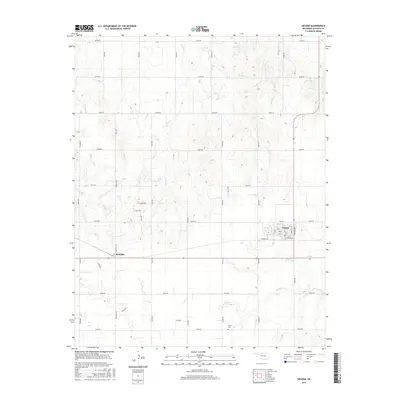
2016 Map of Helena
USGS Topo · Published 2016About this map
Helena serves as the central hub of this Alfalfa County landscape, where the grid of the town site meets the sprawling agricultural sections of north-central Oklahoma. The town's layout is clearly defined by streets like Elva St and Bond St, while the surrounding prairie is dissected by a precise network of range and township roads. To the west, the settlement of McWillie sits along McWillie Rd, illustrating the characteristic spacing of rural communities in this region. The terrain is shaped by the drainage patterns of several seasonal waterways, including Turkey Creek, E Clay Cr, and W Clay Cr. These creeks create subtle variations in the otherwise flat plains, providing natural landmarks for local history researchers. For genealogists, the Rupert Cem located in the southern portion of the map offers a specific point of interest for family history documentation within the township.
Find a feature on this map
44 named features on this map. Tap any name to fly to it.
Don’t see what you’re looking for? This feature index may not catch every label — zoom into the map to look around manually.
Map Details
Editions of this 2016 Helena Map
This is the sole edition of this map. No revisions or reprints were ever made.
Other maps of this area

1955 · Woodward
USGS Topo · 1:250,000

1956 · Ringwood
USGS Topo · 1:62,500

1958 · Woodward
USGS Topo · 1:250,000

1968 · Carmen
USGS Topo · 1:24,000

1969 · Jet
USGS Topo · 1:24,000

1969 · Goltry
USGS Topo · 1:24,000

1969 · Lambert
USGS Topo · 1:24,000

1969 · Fairview NE
USGS Topo · 1:24,000

1969 · Helena
USGS Topo · 1:24,000

1969 · Cleo Springs
USGS Topo · 1:24,000