
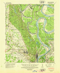
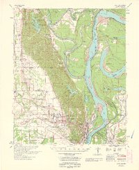
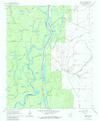
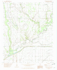
1955 Map of Helena
USGS Topo · Published 1967This historical map portrays the area of Helena in 1955, primarily covering Phillips County as well as portions of Tennessee and Mississippi. Featuring a scale of 1:250000, this map provides a highly detailed snapshot of the terrain, roads, buildings, counties, and historical landmarks in the Helena region at the time. Published in 1967, it is one of 2 known editions of this map due to revisions or reprints.
Find a feature on this map
113 named features on this map. Tap any name to fly to it.
Don’t see what you’re looking for? This feature index may not catch every label — zoom into the map to look around manually.
Map Details
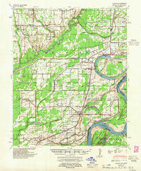
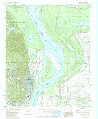
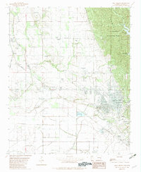
Editions of this 1955 Helena Map
2 editions found
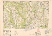
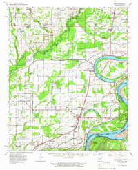
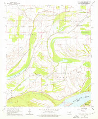
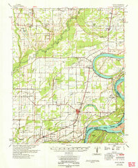
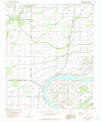
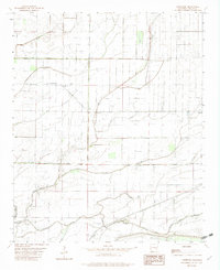
Historical Maps of Phillips County Through Time
20 maps found
1939 Latour
Phillips County, AR

1939 Modoc
Phillips County, AR

1948 Helena
Phillips County, AR
1948 Modoc
Phillips County, AR
1950 Helena
Phillips County, AR
1955 Helena
Phillips County, AR

1955 Latour
Phillips County, AR

1959 Helena
Phillips County, AR

1960 Helena
Phillips County, AR

1961 Latour
Phillips County, AR
1963 Latour
Phillips County, AR
1963 Modoc
Phillips County, AR
1964 Friars Point NW
Phillips County, AR
1964 Modoc
Phillips County, AR
1967 Henrico NE
Phillips County, AR
1982 Helena
Phillips County, AR
1982 Lakeview
Phillips County, AR
1982 Lambrook
Phillips County, AR
1982 Watkins Corner
Phillips County, AR
1982 West Helena
Phillips County, AR