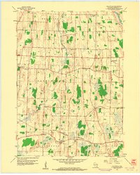
1959 Map of Helenville
USGS Topo · Published 1961About this map
Helenville sits at the heart of this late-1950s rural landscape, where the Chicago and North Western railway cuts a horizontal path through southern Jefferson County. The terrain is defined by a dense network of country roads and local institutions, reflecting a well-established agricultural community. A remarkable concentration of one-room schoolhouses and small parish centers is evident, including Sunshine Sch, Baker Town Sch, and High Lawn Sch, alongside churches such as Immanuel Ch and Zion Ch.
Find a feature on this map
28 named features on this map. Tap any name to fly to it.
Don’t see what you’re looking for? This feature index may not catch every label — zoom into the map to look around manually.
Map Details
Editions of this 1959 Helenville Map
2 editions found
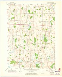
Other maps of this area

1891 · Waterloo
USGS Topo · 1:62,500

1891 · Koshkonong
USGS Topo · 1:62,500

1892 · Watertown
USGS Topo · 1:62,500

1892 · Whitewater
USGS Topo · 1:62,500

1893 · Whitewater
USGS Topo · 1:62,500

1894 · Waterloo
USGS Topo · 1:62,500

1894 · Watertown
USGS Topo · 1:62,500

1894 · Koshkonong
USGS Topo · 1:62,500

1903 · Whitewater
USGS Topo · 1:62,500

1906 · Koshkonong
USGS Topo · 1:62,500